22.1 miles 3:29 Riding Time
Will's always up for something different, and as spring turns to summer
he suggested we climb the 3,446 ft to the top of 6,892 ft Danskin Peak. Danskin lies between Boise and Mountain
Home (north of the freeway), and the LT often flies over it with the National Guard.. Experience has taught me to be cautious of his aerial reconnaissance, so I brought my lights in addition to lunch despite his
prediction that this would be a 3 hour trip (including commute time!). The forecast was calling
for a windy day with gusts as high as 40 MPH in Boise, so I was hoping for a ride up a draw
through the timber somewhat like the infamous
Cottonwood Creek ride but without the brush. This would not be the case. Danskin is mostly high desert offering no protection from the wind except for a band of timber just before the top. We were in luck in that this primitive road was recently graded.
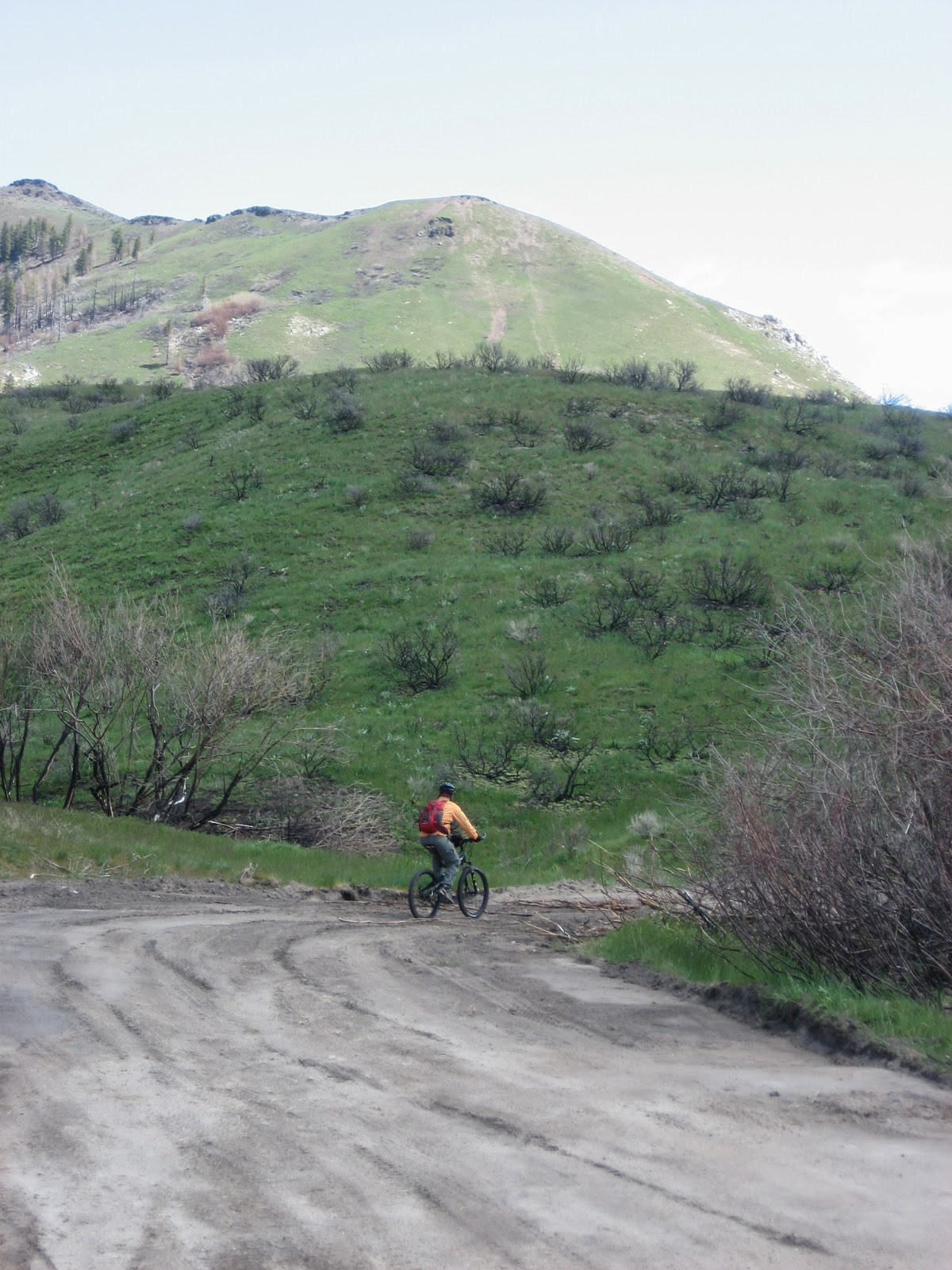
The LT was concerned that the 16 the mile ride he had planned wouldn't be enough riding, so he suggested we park the car about 3 miles early on the back roads. I'd dressed warmly for the drive, but the cold wind blowing off the nearby snowcapped mountains made me leave on my regular winter riding gear as we worked to go downhill thru the wind for 3 miles to the parking lot where the LT had originally planned to start the ride. There we turned 90 degrees and were no longer in a draw that channeled the wind into us- making the wind much less significant. The unusually wet spring has made the high desert beautiful.
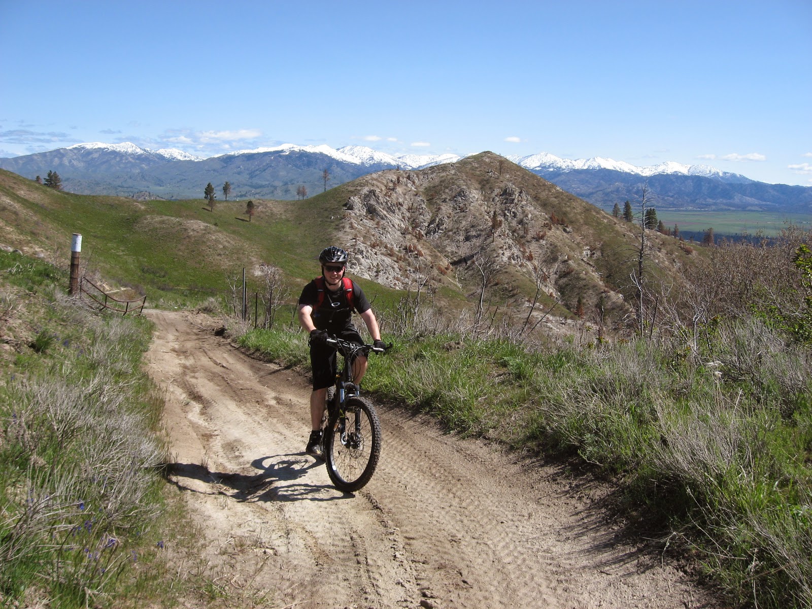 |
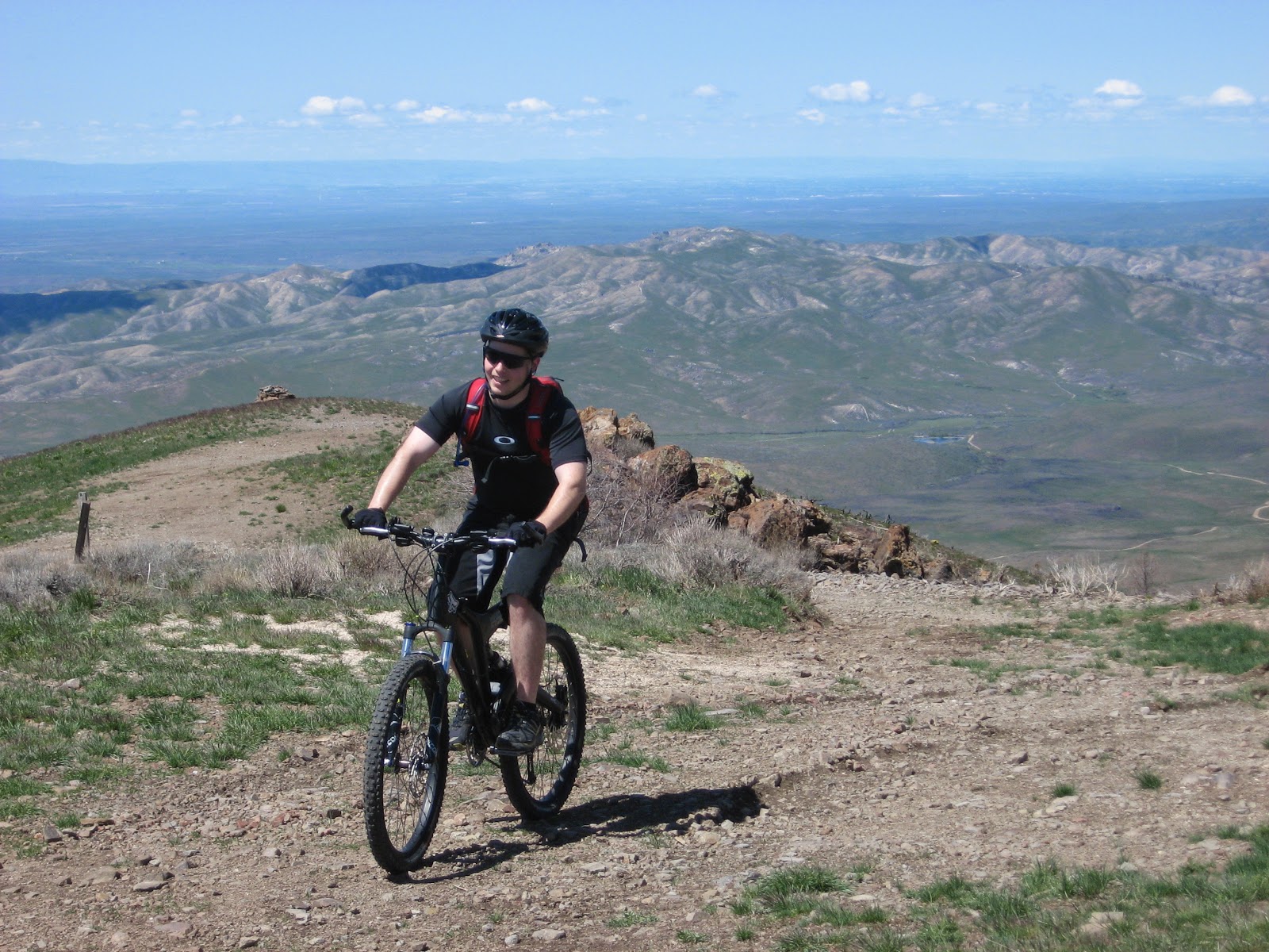
| The LT on the way up |
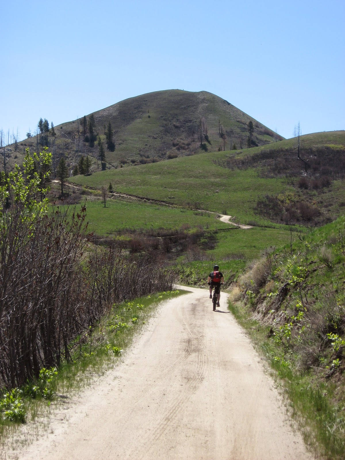 |
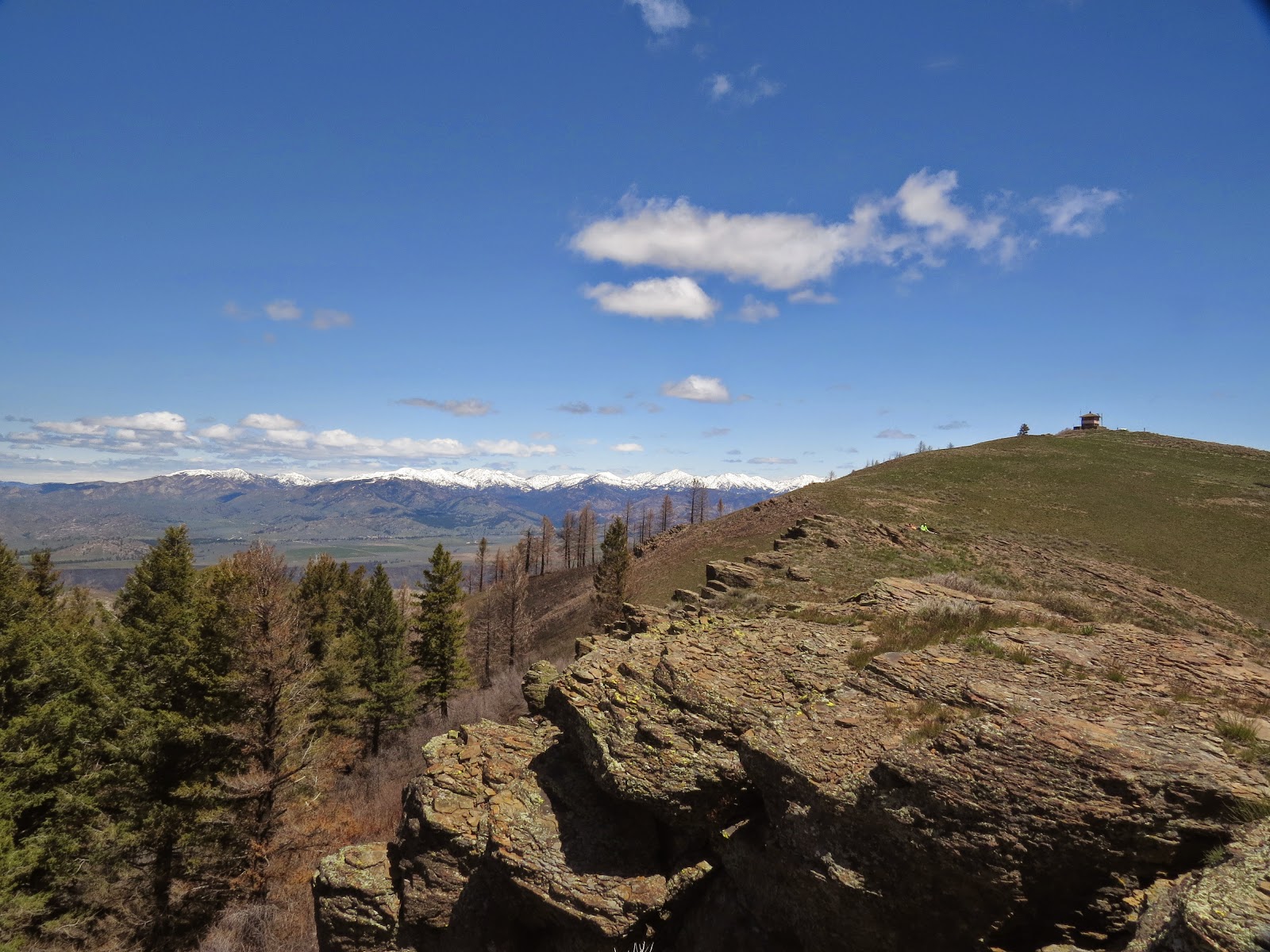
| The LT higher up the mountain |
|
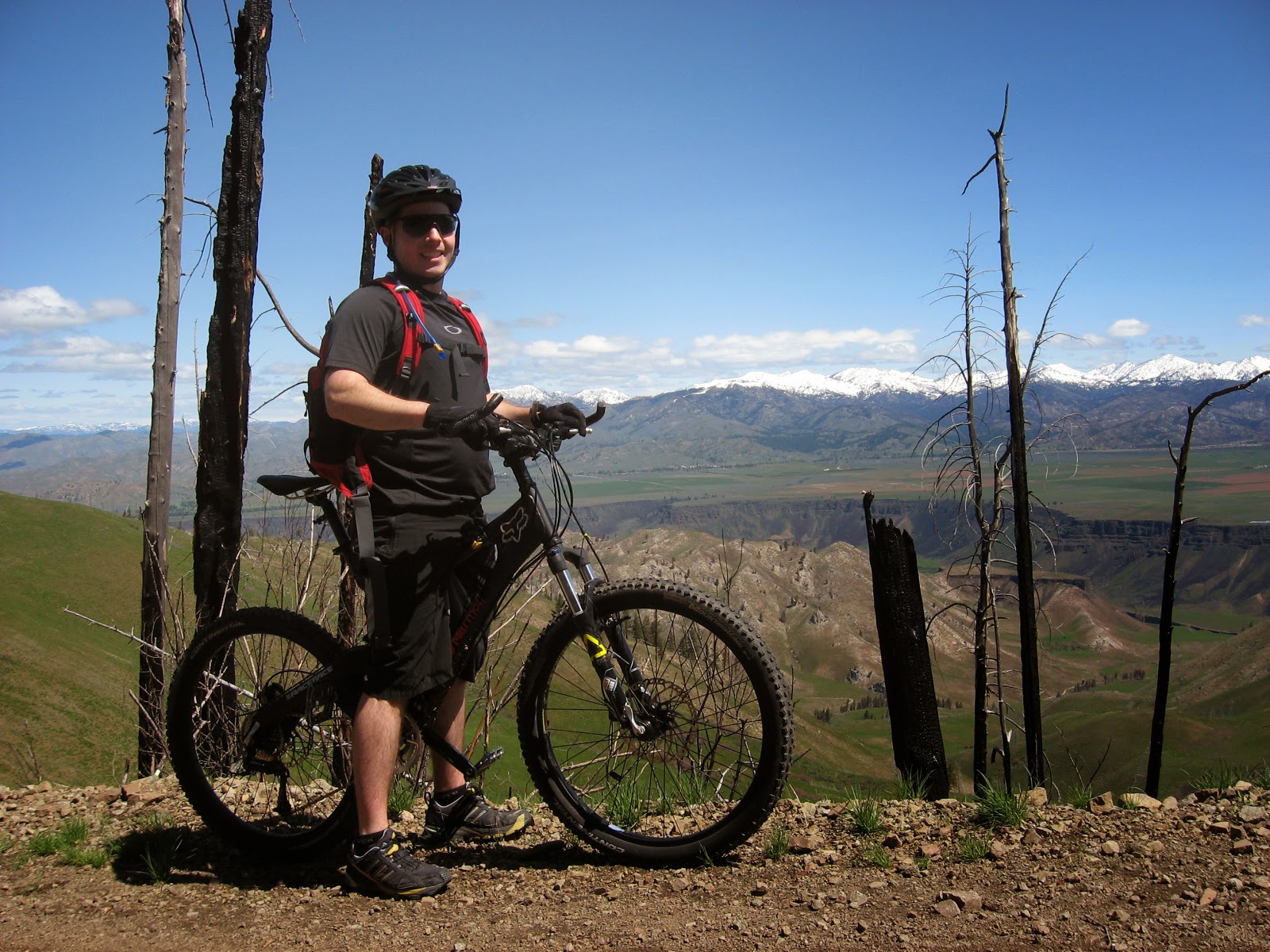 |
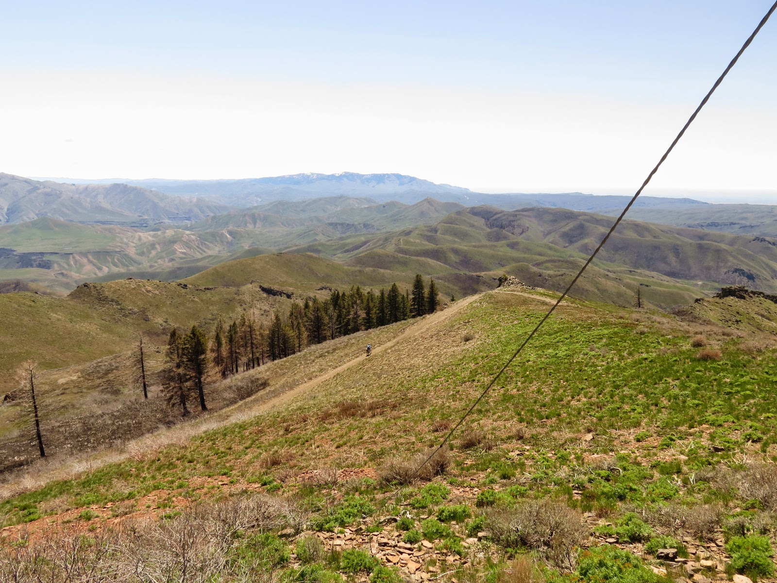
| The LT in the burnt out section of timber just before the top overlooking Boise River |
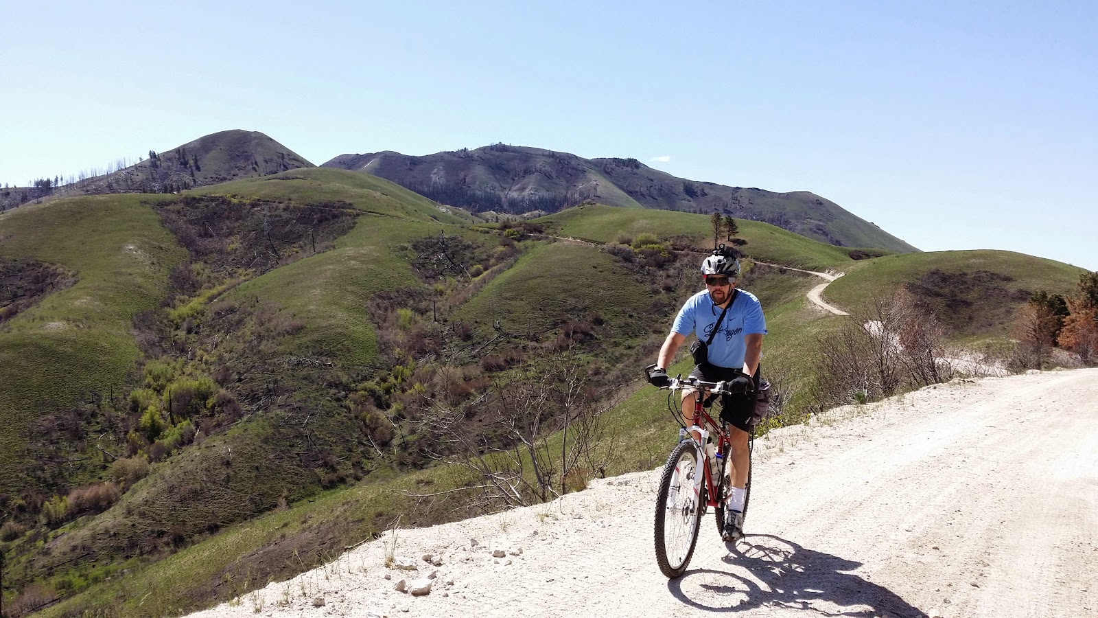 |
| Steve on a reverse shot on the way up - on the descent he was well bundled in several layers |
Near the top of the mountain is a sign "Jeep Trail 3/4 mile". My odometer showed the top was 1.1 miles, and that section was very steep requiring my 17.5" (granny 1) gear all the way.. The LT hasn't been on his bike a lot this year, and seemed worn out when he reached the top. We met a hiker, Paul Turner who talked to us for a few minutes before heading off as we started our nearly one hour lunch break.
 |
| The LT reaches the top |
 |
| Steve, the spot on the road, nears the top- photo by Paul Turner |
 |
| Steve reaches the top- photo by Paul Turner |
 |
| Steve & Will enjoy lunch (see the bright yellow spot)- photo by Paul Turner |
 |
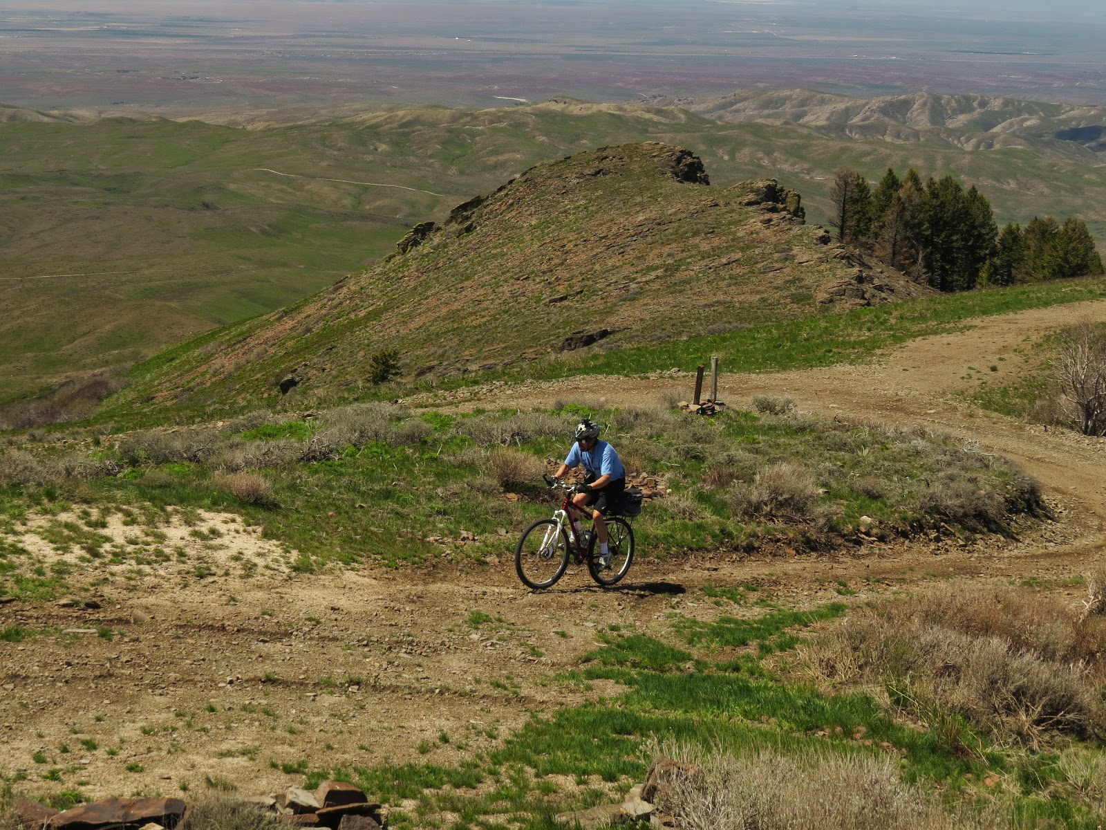
| The LT toward the bottom |
After that 90 degree turn at the parking lot, the climb had seemed warm even as we reached the top, but the long lunch break and first part of the descent required our winter clothes. Just after we reached the parking lot where we had planned to park, Paul arrived having hiked down a much more direct trail. The LT's energy was gone, but the car was still 3 miles uphill from there. I was glad Paul didn't offer him a ride over those 3 remaining miles! Would he have succumbed to temptation? The wind had died down considerably since the start when we had to work to go down that hill, but it still provided some assistance on those last 3 miles up which the LT would describe as steep and tiring! I wouldn't disagree with the steep part of that description!
Good ride, LT. I look forward to more summer adventures, and I'll have my lights changed and ready for the next adventure!
Happy cycling for fun, fitness, and transportation,
Steve.
