24 October 2022

Bicycling the Boise Front in the Fall 2022

Fri 22 Oct 22 
52.6 mi, 7:27 riding time, 6,499 ft elevation gain 

Because Texas tycoons who own adjoining land wrongly closed the public road for a couple of years, and because I'd recently failed to get friends to join me, I hadn't bicycled the Boise Front since 2015. I'd talked Tom and Ken into it the last two years, but failed to find a date that worked in those very hot years. They'd both agreed to ride it this year, but when my Waterford hardtail was returned from tour on 18 Oct and the weatherman predicted winter would arrive suddenly on 22 Oct, I gave the hard sell to my ridding buddies to accompany me on  this ride on 21 Oct, the day before the first winter storm was to arrive.

Tom was in California and Ken thought he wasn't in adequate shape. Cathy agreed to ride the front until the Orchard Trail rejoins it and maybe farther if she felt strong enough. That gave me company for the toughest part of the ride, so we decided to go. Christine agree to accompany us for a short ways. 

Cathy apparently thought we wouldn't have enough climbing for the day, so she started by leading us over Eagle's Ridge adding about 175 ft of unnecessary climbing.  Maybe to make up for that she led us over Shane's the reverse way (clockwise- the easier way), but come to think of it, that also added to our elevation gain as it goes to the highest point of Shane's and back down to the turn off to Shaw Mtn Rd. Christine turned off here and safely completed Shane's Loop.

Cathy on Central Ridge

 
Christine nearing the top of Shane's Loop

Cathy and I took a break at Aldape Summit where three young cyclists in their 20's briefly talked to us before heading down to Robie Creek. We then headed up the steepest part of the ride.

Cathy starting up the hill after our break at Aldape Summit
 

Cathy where the road moderates slightly above Aldape Summit

The photographer was about 2 seconds late with this photo of Cathy
 

I think we waited too long for lunch at 2:30 as we had both been hungry for a while violating the "eat before you're hungry, rest before you're tired" rule for long rides, and that mistake likely made us weaker for the rest of the day. Right after lunch those 3 young riders caught us having ridden down to Robie Creek and back up to the Front giving them considerably more elevation gain than we had, and they quickly left us behind.  By this time Cathy was having leg cramps, but she made it on to Hard Guy where she turned off with 4,803 ft of climbing, and by the time she'd finished on Hard Guy had 5,032 ft of elevation gain in 30.4 miles. She knew the layout of the road well, and before departing she wrongly assured me I'd have no issue with remaining daylight. My estimates were putting me home about dark- assuming no problems. I'd brought lights but no warm clothing except a windbreaker, and cold weather was forecast to arrive that evening.

Cathy as she prepares to ride down Hard Guy

 At the Hard Guy turn off fall colors immediately improved although any plant near the road was covered in gray road dust subduing its colors.

The road just above the Hard Guy intersection

 
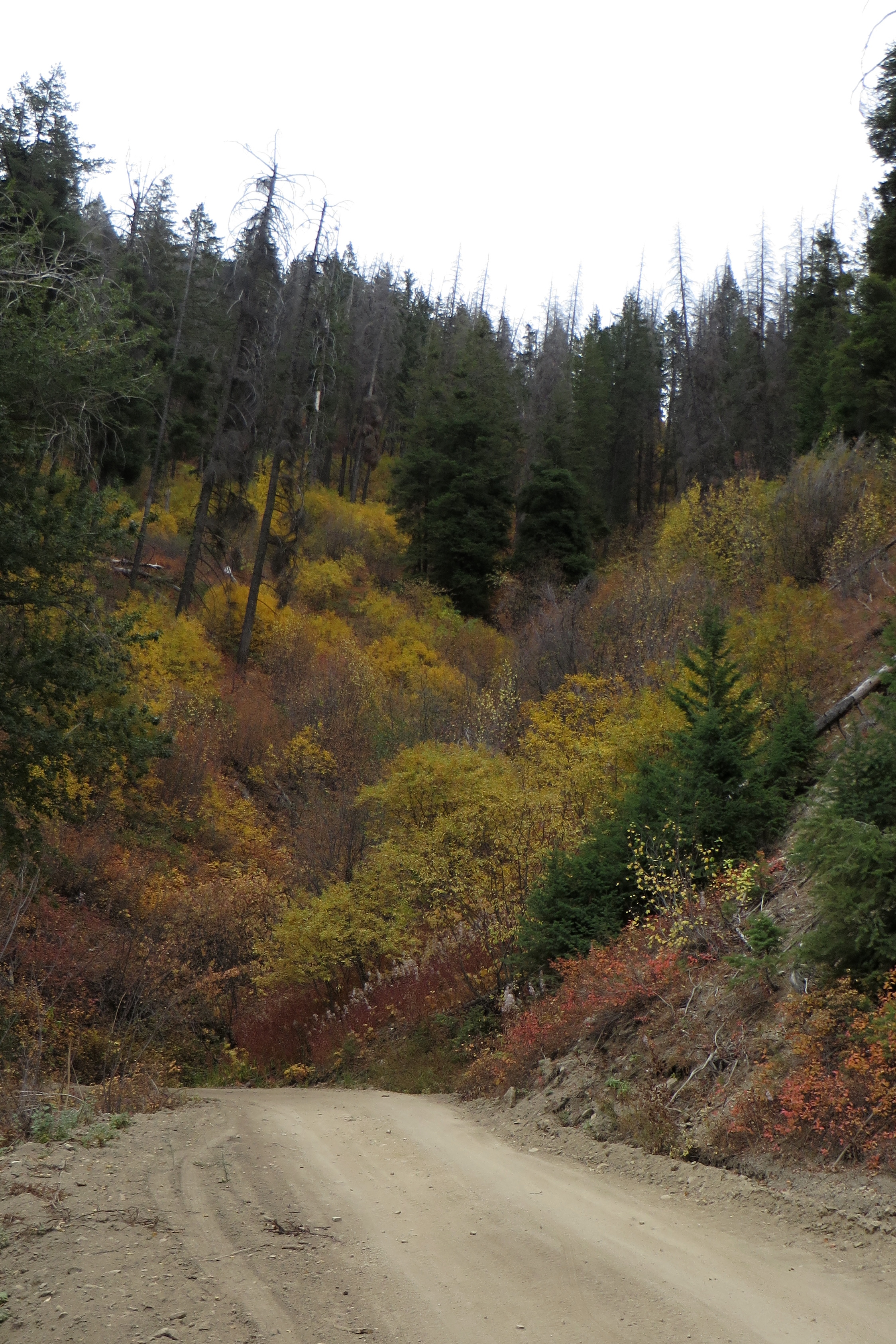
Fall colors above Hard Guy


The road near the top

I followed the road but gave no consideration to riding up to the very top of Deer Point which I would usually do. I was spent; I'd run out of food - but not water; the wind had come up; it was cold at 48°; I had brought no leggings; I had a lot of descending awaiting me; and I was now expecting dark to fall before I reached home on Boise's Upper Bench. I never got to the point of my shivering causing the bike to shake, and temps warmed to 58° by the time I hit the valley's bottom. I rode up to my garage just as dusk was turning to dark. No blood was spilt, and there were no mechanical problems. I recommend this ride in the spring (May) as soon as the snow is gone when spring's green makes it more scenic, the sand and rocks are still embedded in the soft sand, and the wash outs are deep enough to discourage motorized traffic.

 Happy cycling for fun, fitness, and transportation!
 
 
Steve

 2015 ride on the Boise Front

2012 ride on the Boise Front


19 October 2022

Moab Mountain Biking 2022

When Will assembled his bike in Salt Lake, he discovered his rear wheel wasn't freely spinning. He tried to adjust the cassette's tightness and adjust the "gasket" in the cassette, but those approaches didn't work, so we headed off to Moab's The Bike Fiend where Will was told they could look at it on Monday. Will was quick with the request that he use their torque wrench which they allowed. After removing the cassette, Will asked where and how that gasket should be seated. The mechanic said "that looks like a rubber band which shouldn't be in your cassette"!  As he looked closely, Will agreed. REI had assembled the bike a couple years ago with that rubber band in the cassette, and somehow Will had disassembled and reassembled it several times with that rubber band seated somewhere thinking it was a gasket. The wheel would now spin freely, so we departed for the Lazy Lizard Hostel  happy that the problem was fixed, our trip would proceed, and with no charge from the Bike Fiend. Instead of heading off for the shakedown cruise as planned we went for dinner.

Day - 0 Thur 66 Oct 22 
Lazy Lizard Hostel across the Colorado River
10.6 miles, 1:24 riding time, 331 ft elevation gain 
 
The evening temps were very pleasant, but the purpose of a shakedown cruise is to find problems which a bike may have after shipment. Although the freewheel was now spinning freely, his rear wheel was making an irksome squeak that would take a couple days to figure out and correct as the noise continued to annoy the rider.
 
 
Steve on the bicycle bridge over the Colorado- photo by Will

Will on the bicycle bridge over the Colorado


Day 1 Fri 7 Oct 22
Behind the Rocks- a jeep trail and Hunter Canyon Rim Route - a hike a bike
41.1 miles, 8:14 riding time, 3,599 elevation gain
 
Will's the planner for most of our adventures, but ever since our 2018 climbing of Jacob's Ladder, I've been checking out the plan to see that it's not too ambitious. This year I was bicycle touring in New England when he submitted it, and because of my time shortage approved his plan without looking at it. Behind the Rocks, a trail behind the cliffs that face Moab, went well although recent heavy rains had washed out parts of our roads on the Moab side of the cliffs.
Our route will soon take us to the back side of the rocks on left of this photo exiting Moab

 
Will crossing the nearly dry steam bed where the culvert and road were recently washed away

Will's rear wheel was still squeaking with a slightly bent rotor, so throughout the day he was adjusting the brakes but we could travel on. Soon we were on the lightly traveled jeep trails on the back side of those hills enjoying the scenery.

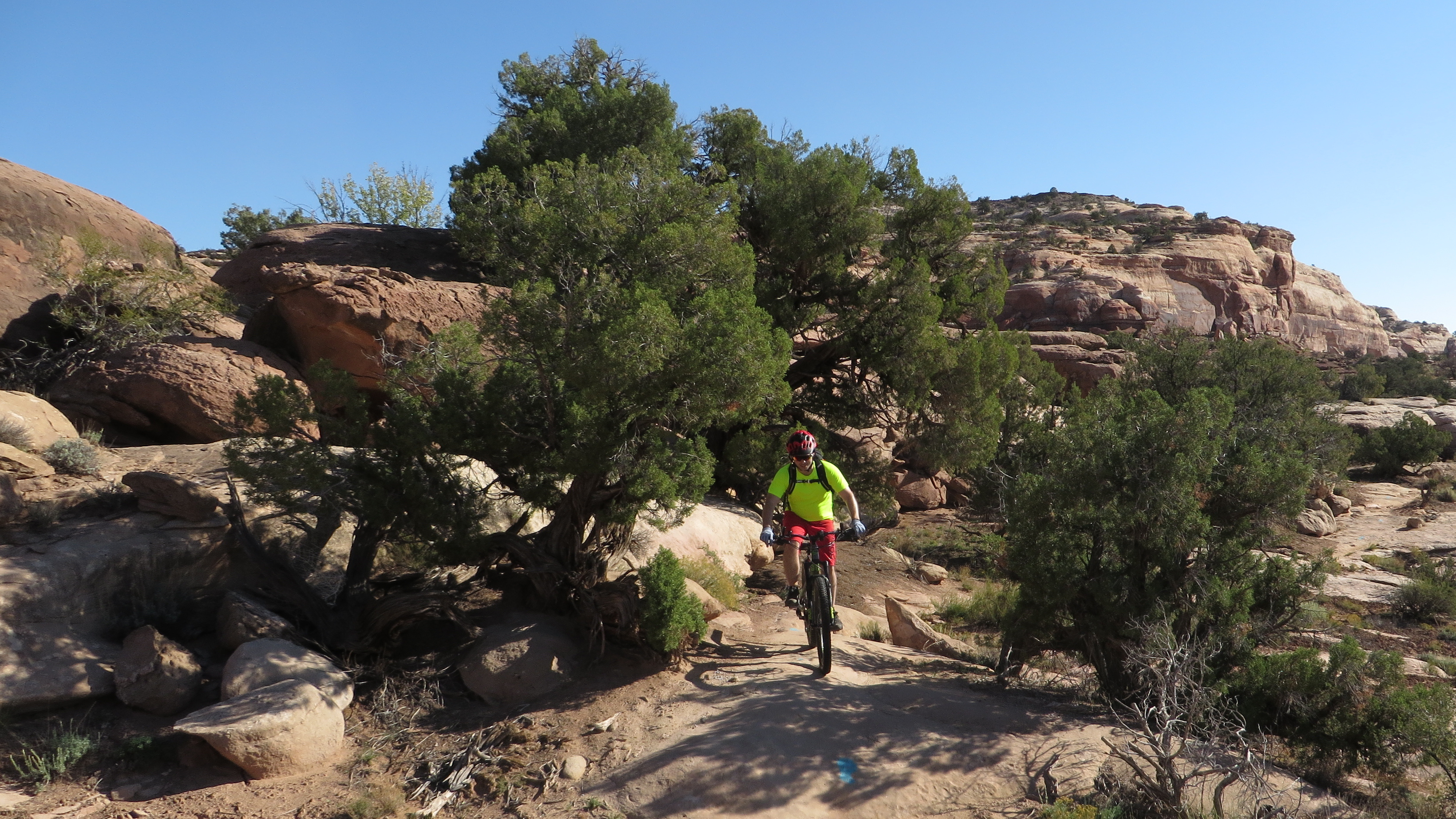
Will on the Jeep trail on the back side of Moab

Steve enjoying lunch with a view - photo by Will

Occasionally we had to "hike a bike" up or down something too steep as in this photo of Steve on a well worn Jeep trail

Scenery remained excellent on "Behind the Rocks"

The camera doesn't catch how steep this is, but Steve's body position does - photo by Will

Just after lunch, Will, who is normally an excellent planner was estimating 4 miles more to ride and projecting an arrival back in Moab as early as 3:00 p.m. However, as one hour turned into two and then three, the estimated distance remained the same. Then we arrived at this sign- my first indication of what lay ahead.

Will's bicycle leaning on a sign that reads "Route Ends No Vehicles Past this Point"    

With a time stamp of 4:50 p.m. on the above photo we wouldn't be getting back to town by 3 or 4, but initially parts of this trail were rideable when the drop into the canyon wasn't too intimidating, but it often looked like the photo below.

Will pushing through an early section of Hunter Canyon Rim Route

There were no more signs, and the trail became increasing faint although most of the way whenever there was sand there were tracks from a motorcycle. About two hours later as dusk was falling we reached a side canyon where the trail became too faint to follow. Will got a bit ahead of me, so I couldn't see him. I found a cairn and followed what I thought was the direction it indicated, but no Will. I could see and hear a group of people 50 to 100 ft below me, but I couldn't see any kind of route down to them. Soon Will came back to retrieve me, and we headed up the side canyon which for a short while was easier walking, but it led to a dead end. The motorcycle had also gone this way, as we could see its repeated circular tacks as the rider looked for a way out. We decided to go back to the cairn and then found some more cairns which indicated which rocks to jump to. By this time there was no trail and no tracks to follow across the rocks as we descended the canyon's wall following the cairns.  Often one of us had to jump down with the other person handing the bikes down to the first person.  Finally, we reached the bottom of the side canyon where the route again became hikeable (not rideable), and with just a little more hiking we reached the dirt road that goes from Moab to Hurrah Pass. However, it was time to turn on the lights. We had more than an hour's ride to Moab followed by a late dinner. It was another warm evening, so we didn't suffer in the cold. Somehow we took no flash photos once darkness fell. This was an adventure that Will might like to repeat, but in the future even if I'm cycle touring in New England, I'll be reviewing his plans.

Day 2 - Sat 8 Oct 22
Uranium Arch and Monitor and Merrimac
44.8 miles, 6:11 riding time, 2,989 ft elevation gain
 
Monitor and Merrimac is a favorite ride of ours and we decided to add in Uranium Arch this year. We rode from town up to the steep jeep trail that goes to Uranium Arch. 
 
Will at the top of the first Jeep Trail hill

Steve getting near the arch - Jeep Trail on the left

Will standing in front of the Uranium Arch

Will standing on the Uranium Arch

We had lunch in the shade of the arch and moved on to Monitor and Merrimac.

Steve nearing Monitor and Merrimac - photo by Will

Will ready to descend to Moab Canyon

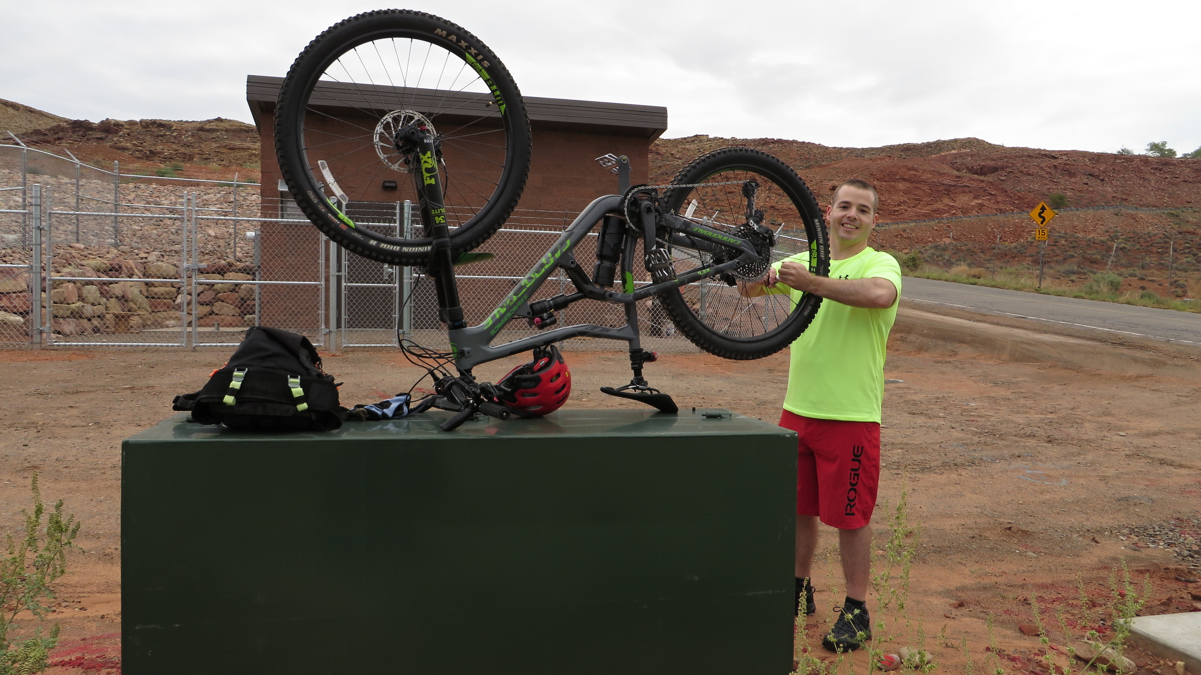
Instead of riding down the extensive slick rock and out the sandy draw we've ridden before, we rode out the usual entrance missing much of the slick rock. At the Chevron Station about 10 miles north of Moab, it was warm enough to enjoy a Klondike Bar before descending the paved bicycle route down Moab Canyon to town where we arrived early enough to return to the Bike Fiend. Will had identified that his rear rotor was slightly bent, so he requested a new one. The Bike Fiend had only a high priced $80 SRAM Centerline 180 mm rotor and $27 brake pads Those pretty much fixed the problem though it would take a couple days to wear the brake pads into perfect silence.

Day 3 - Sun 9 Oct 22
Get-Away, Bull Run, Great Escape, Little Canyon Trails, and Gemini Bridges Rd
31.2 miles, 4:53 riding time, 1,299 ft elevation gain

Will thought we could only do these four trails if we took a shuttle up to the top and rode back to town. I suspect he'd like to do the Magnificent 7 (7 trails that get quite technical toward the end), but he settled for four. I had some residual tiredness from day 1 and was glad for a shorter day although five hours of riding isn't all that short, but the van loaded at 0845, so we got to sleep in a bit. I left my camera in the cabin, so all photos this day are Will's. I found Bull Run a little too technical, but enjoyed the other trails. Will's a more technical rider and enjoyed them all though he had to wait for me especially on Bull Run.

Steve in front of the shuttle which is nearly loaded and ready to go - photo by Will

Steve checking out a canyon - photo by Will

Will riding almost under a rock

Will at the top of Gemini Bridge Rd with Moab Canyon and the La Sal Mountains in the background

Laundry night occupied most of the extra time allowed by this shorter day.
 
Day 4 - Mon 10 Oct 22
Dead Horse Point State Park
15.8 miles, 2:35 riding time, 1,001 ft elevation gain

We drove out to the state park for this easy day of riding.  We rode a big circle around the park and then did some hiking.The park offers some great views and is high enough that we were sometimes in pinion forests. Trails are generally easy with some surprises of short difficult sections.  Will's always saying "trust the trails", but although these trails are generally not technical, there are enough significant surprises that the trails should not be trusted.

Will in a sandy section of trail

Will in a smooth section of trail

View from the trail - photo by Will

View from near the viewpoint - photo by Will

another view from near the viewpoint

The Colorado River snaking below - photo by Will

Day 5 - Tue 11 Oct 22
Sand Flats Road, Eagle Eye and Falcon Flow Trails   
35.6 miles, 6:11 riding time, 4,193 ft elevation gain 

Will had initially planned Flat Pass for today, but we thought it might be too much like Hunter Canyon, so we rode up Sand Flats Rd and down Eagle Eye and Falcon Flows Trails.  With an early 0730 start, no mechanical issues, and just over 4,000 ft of elevation gain mostly on a primitive road it was the perfect riding day getting us into town for a 1600 dinner- before the Moab rush starts around 1700. Most of the climbing is on the primitive and steep Sand Flats Road which neither of us found too tiring this year. 

Steve on a bit of slick rock - photo by Will

 
Will and Steve at the Porcupine Rime turn off - we didn't take this year

Will on a steep section just before we reached the top of Sand Flats Rd
 
lunch with a view - photo by Will

Workmen were out plotting a course for a new trail between Eagle Eye and Falcon Flow, so in the future riders may not have to get back on Sand Flats Rd to connect the two trails.

Steve coming down Falcon Flow - photo by Will

Will coming down Falcon Flow

Will lower down on Falcon Flow

Day 6 - Wed 12 Oct 22
A short ride at Bar M before returning home  
6.9 miles, 1:41 riding time, 917 ft elevation gain

The travel day home is less sad if we can do a short ride, so we stopped north of town at Bar M and added Lazy and a couple other trails. Lazy was a great way to get fully awake and start the ride. 

Will on Lazy Trail in the early morning light

a better shot of trail conditions

Trails grew a little more technical as we left Lazy

final shot of Will before we load up the bikes for the trips home

final shot of Steve before we end the adventure

Happy cycling for fun, fitness, and transportation,


Steve

Our preferred maps

2021 Moab Trip

2019 Moab Trip 

2018 Moab trip

2016 Moab trip

2010 Moab trip

26 October 2021

Moab Mountain Biking 2021

We arrived in Moab with enough time for what has become our standard Moab shakedown cruise- down to the Colorado River bicycle bridge for photos plus ride up some steep hill, but as we headed out dark clouds threatened, and we found the wet ground showed signs of recent washouts.

 Steve and Will at the welcome to Moab sign a couple days later - photo by Willl

 l
Steve with the bicycle bridge to Moab in the background - photo by Will

Day 0- Thu 30 Sep 2021
Lazy Lizard Hostel to a hill above Moab
4.0 miles, riding time 0:34, and 282' elevation gain
 
We rode toward the bicycle bridge over the Colorado River, but those dark clouds were growing more threatening, so we turned up a steep street and found an even steeper walking path which we unsuccessfully tried to ride. We had lights and were prepared to ride in the dark to accomplish our shakedown cruise, but we weren't mentally prepared for a cold drizzle, so we headed back to the Lazy Lizard Hostel as daylight turned to dusk and as light drizzle started. Light rain continued most of the night which combined with the dampness from earlier rains nearly eliminated Moab's characteristic red dust and loose dry sand for this trip.

Steve above Moab at sunset on day 0

Day 1 - Fri 1 Oct 2021
Sand Flats Rd, Eagle's Eye, and Falcon Flow Trails 
33.0 miles, 5:30 riding time, 4,104' elevation gain
 
Will had done nearly all the planning for the trip with my vetoing only a couple of trails as too technical, so it was Will who chose to ride up the long and steep Sands Road.

Will adjusting his derailer on the outskirts of town-  proving last evening's shakedown cruise was too short.


Sand road offers some great scenery.

Will enjoying slick rock at the side of Sand Road

 
Steve on some slick rock


I was a bit disappointed when we got to the Porcupine Rim trail and learned that we wouldn't  take it to the top, but that would have been a day too long. However, we took pictures at the trail head where we might have gone and where we've gone before.
 

Near the top of Sand Road a couple of strangers catching us as we took a break

Will has gumption when he tires, but even his gumption was beginning to wear down as we neared the top. A longer morning break with a snack helped revive him followed shortly at the top by lunch and a very brief nap which seemed to restore his energy.

Still the climbing continues as Will nears the top.

 We added a few hundred yards to enjoy these views at our lunch break which was on the LPS route just before it turns into the well known Porcupine Rim Trail. LPS seemed very busy as many speeding cyclists passed us as we lunched. Perhaps it's become that busy or perchance a shuttle dropped them off just in time to pass us on our lunch break.
 
view from our lunch spot on the Porcupine Rim Trail which was just off route

Another view from our lunch spot - photo by Will

 
Will seemed entirely revived by lunch and the knowledge that downhill awaited us on Eagle Eye and Falcon Flow Trails, and after lunch it was he who was often waiting for me as riding  got a bit technical at times requiring that I push over a few obstacles that he easily rode over.

Steve on Eagle's Eye Trail - photo by Will


Will on one of the many "drops"

Clouds slowly lifted throughout the day. I think "Falcon Flow" isn't flowy enough to warrant that name, but it it did have flowy sections and was within my abilities.

Day 2 - Sat 2 Oct 2021
Mustang, Whirlwind, upper 7 Up, Coney Island, Big Lonely, Chisholm, & Rodeo Trails
25.5 miles, 5:33 riding time, 1,879' elevation gain

We drove out to the Mustang Trailhead on hwy 313. I'd requested a repeat of the 7 Up Trail, so Will put together this combination of trails that outside of 7 Up were generally as technical as I could handle - stretching my abilities but not over stretching them. I gained confidence throughout the day and found myself trusting both the trails' design and my abilities, but the continual drops seemed to tire me by the end of the day while they seemed to energize Will. 

Steve disappearing on the Mustang Trail - photo by Will


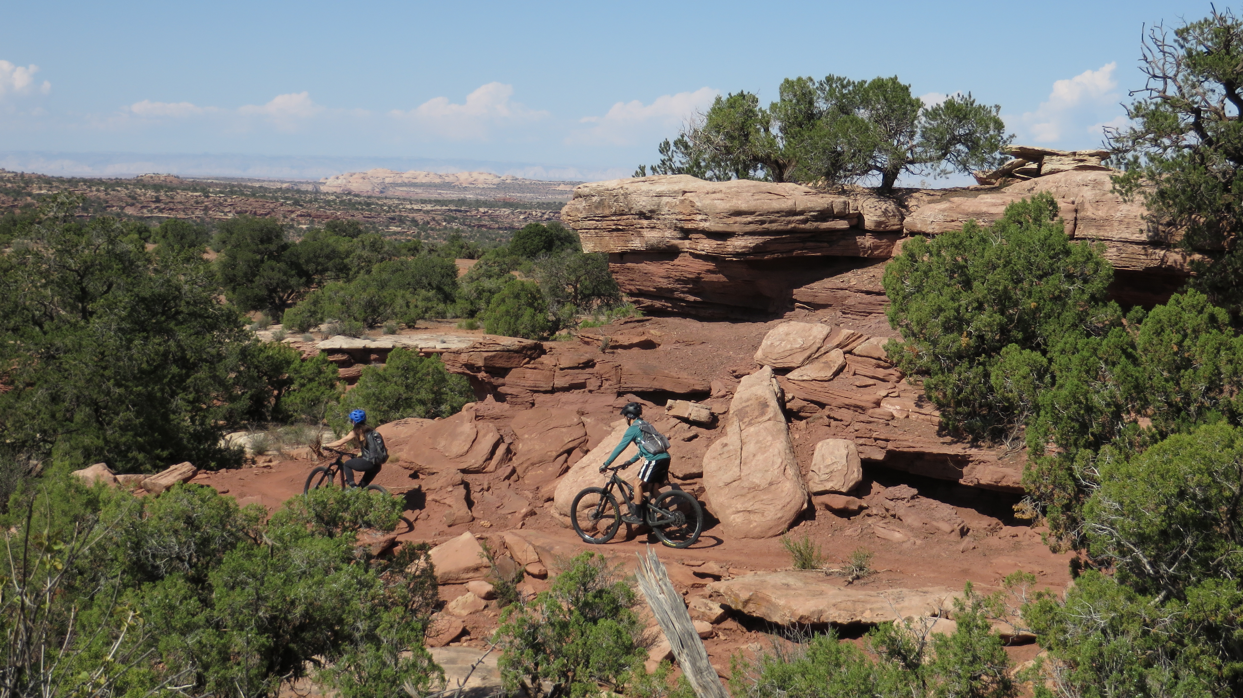
A couple of strangers on a scenic section of trail

Will had downloaded the route into our Garmins, but neither we nor Garmin knew part of the route was one way, and the Garmins didn't adjust to the required reversal of the planned course. Although neither the elevation gain nor the distance show this as a difficult day, by afternoon break I was ready for the ride to end. I'm blaming this on my technical skills being stretched - but not exceeded- by the trails that followed 7 Up. As I tired it seemed like we did a circle within a circle, but the recorded route shows a small circle at the bottom of the main circle.

Day 3 - Sun 3 Oct 2021
Monitor & Merrimack from town
42.4 miles, 5:38 riding time, 2,828' elevation gain

Any tiredness I felt from the prior day was gone, and I particularly enjoyed the slick rock and views on this trail. Today was the only day we rode the roughly 10 miles of paved path to the trails north of town, and it was as we exited town today that the two introductory photos in this blog were taken.

Steve crossing the Colorado River on the bicycle bridge outside of Moab

The paved bicycle trail took us about 10 miles before we turned off onto a steep jeep road that led to the actual Monitor and Merrimack Trail.

Steve as the jeep road becomes steep - photo by Will

Will at the top of the first steep section of jeep road which in this photo doesn't look as steep or rough as it was.

Will starting up another steep section of jeep road

Will after most of the climbing

Steve after most of the climbing - photo by Will

Steve on the slick rock of Monitor and Merrimack - photo by Will

Will enjoying Monitor and Merrimack's slick rock

Steve on more slick rock of the Monitor and Merrimack - photo by Will

We took a lot of photos and really enjoyed this slick rock. Will now says we must return to Monitor and Merrimack every year, a thought I can agree with. The sick rock eventually leads into a sandy draw, and although the sand was still a little damp, we had to push through sections of it. After the earlier rains we found water in the draw.

Will finishing the sandy draw
 
Then it was back down the jeep trails and on to the "out of town" Chevron Station for ice cream before bicycling roughly 10 miles of paved path down to Moab. It was a great day with some steep climbing, great views, great slick rock, just a bit of loose sand in the final draw, and a Klondike Bar!

Day 4 - Mon 4 Oct 2021
lower 7 Up, Whirlwind, Mustang, Get-Away, Arthur's Corner, and Gemini Bridges
30.0 miles, 5:34 riding time, 2,585' elevation gain

We parked the car at the junction of hwy 191 and 313, and rode up hwy 313 to the unmarked 7 Up Trail head which would easily be missed if not loaded into our Garmin routes. 7 Up and the others offer some great desert scenery without being too technical.

Will on the first stage of 7 Up

There's slick rock here and there too.

Will in a sandy section

Steve on a section of slick rock- photo by Will

Scenery is always changing
Will in the pinons

Steve riding a drop - photo by Will

Will rounding a corner

Arthur's Corner was short but slightly more technical than the other trails, and then we were on Gemini Bridges Road (jeep road) with some deep sand followed by a steep climb and a great descent back to the car.

View from the top of Gemini Bridges Rd. We'll descend now to the valley below - photo by Will

Day 5 - Tue 5 Oct 2021
Klondike Bluffs: Inside Passage, Jurassic, Agate West, Homer, Baby Steps Loop, Inside Passage
22.2 miles, 4:16 riding time, 2,077' elevation gain
 
We drove to the Klondike southern parking lot, but I strongly recommend driving to the northern lot which won't subject your car to so much buffeting and may even be a shorter drive without so much rough dirt roads paralleling the highway. It rained again last night and the forecast called for more rain this afternoon which had Will wanting to finish early.
 
Our route had us on almost flowy trails dodging large rocks, but without many rocks in the trail. Then we turned and climbed, and both of us pushed over some of the steep rocky sections. First thing this morning my camera's memory card was suddenly "full", so there are no morning photos from me. At lunch I deleted a few old photos which allowed a few afternoon photos.

Much of the trail wound its way through rocks without being rocky- photo by Will

There's also a lot of slick rock that looks like a super-highway. Here Will is on a section of it.

Steve on some slick rock - photo by Will

Will on Baby Ladder

Steve and Will on Baby Ladder

Ladders are apparently things too steep to ride and require either pushing or carrying a bike. We could push up Baby Ladder. We found a group of friendly ATVer's at the bottom who took the photo of us both. After Baby Ladder, the slick rock freeway opens up again.

Will on the long wide section of slick rock after Baby's Ladder

Will between two rocks on the return either on Jurassic or Inside Passage

Because of the possibility of rain, I couldn't talk Will into extending the ride on any trails, but he did allow me to ride up the road to get my day's accumulated elevation gain over 2,000 feet!

Steve on the road getting his last feet of elevation gain to total over 2,000'


Day 6 - Wed 6 Oct 2021
Bar M
5.8 miles, 1:08 riding time, 597' elevation gain

Will had a later flight from SLC, so as we drove north we had an extra hour or two for a short ride, and we both like some of the trails at Bar M. I'd taken a 2nd camera with me, so after yesterday's full memory card, I switched cameras. When I went to snap the first photo, its battery was dead, so I took no photos on this last partial day of riding. We usually switch bikes for a couple hours, and today was that day, so I was on Will's new Canondale Trigger - a better bike than mine, but I spent too much time adjusting to its small differences like its Scram shifters and handlebar controls of the shocks. I enjoyed Will's new bike, but I'd rather ride it in less technical conditions like at Klondike Bluffs while I adjust to the Trigger's slightly different controls and different feel. Will seems to instantly make those adjustments. Will has a fancy soft sided carrying case for his bicycle, and we spent close to an hour packing it up for its flight home.


Will on Steve's Trek Superfly 8

 Logistics
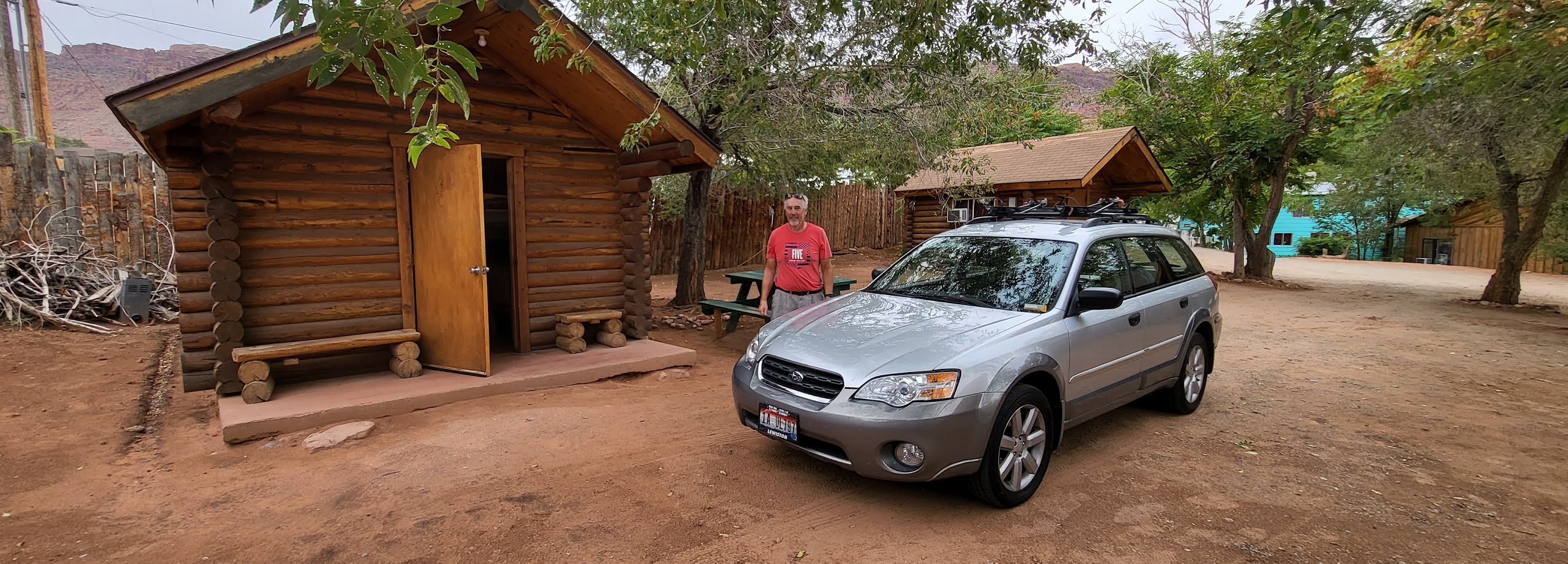
2021's inflation has hit the motel industry nearly doubling prices since we were here in 2019, so we returned to the Lazy Lizard Hostel where we had a cabin with two bunk beds and a desk for just over $50 a night. Management and the guests in the main hostel seemed friendlier than in 2018 when we last stayed here. The bathroom was 100 feet away, but was immaculately clean. I'm comfortable returning here. Eating out was another story. The Moab Brewery, a favorite for years, has deteriorated to typical bar food- gone are the great salads, homemade breads, and extensive menu. Denny's, usually a good breakfast option, was operating only as a drive-in - call ahead for pick-up and on greatly reduced hours. One night we bought a rotisseried chicken and sides from the local grocery store for $20 and ate it from our cabin's pic-nic table,  and that was my favorite dinner this year while there.
 
Inside our cabin at the Lazy Lizard - photo by Will

 
Outside our cabin at the Lazy Lizard - photo by Will

 
Food issues aside this was another great vacation. Thanks, Will, for another set of great memories!
 
Happy bicycling for fun, fitness, and transportation!


Steve
 

 Our preferred maps

2019 Moab Trip 

2018 Moab trip

2016 Moab trip

2010 Moab trip