15 May 2014

Bicycling to Danskin Peak

 22.1 miles         3:29 Riding Time 

Will's always up for something different, and as spring turns to summer he suggested we climb the 3,446 ft to the top of 6,892 ft Danskin Peak. Danskin lies between Boise and Mountain Home (north of the freeway), and the LT often flies over it with the National Guard..  Experience has taught me to be cautious of his aerial reconnaissance, so I brought my lights in addition to lunch despite his prediction that this would be a 3 hour trip (including commute time!).  The forecast was calling for a windy day with gusts as high as 40 MPH in Boise, so I was hoping for a ride up a draw through the timber somewhat like the infamous Cottonwood Creek ride but without the brush.  This would not be the case.  Danskin is mostly high desert offering no protection from the wind except for a band of timber just before the top. We were in luck in that this primitive road was recently graded.

The LT was concerned that the 16 the mile ride he had planned wouldn't be enough riding, so he suggested we park the car about 3 miles early on the back roads.  I'd dressed warmly for the drive, but the cold wind  blowing off the nearby snowcapped mountains made me leave on my regular winter riding gear as we worked to go downhill thru the wind for 3 miles to the parking lot where the LT had originally planned to start the ride. There we turned 90 degrees and were no longer in a draw that channeled the wind into us- making the wind much less significant.  The unusually wet spring has made the high desert beautiful. 

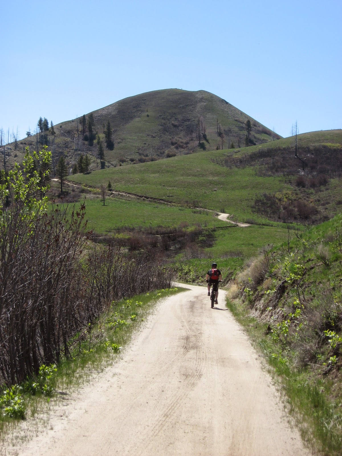
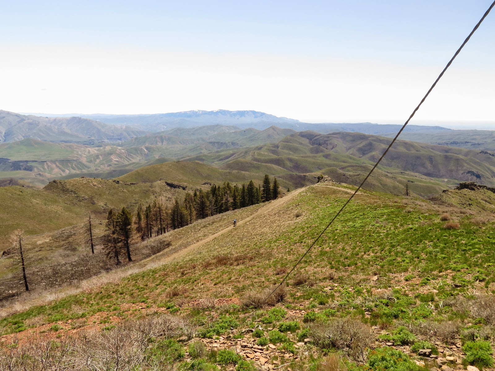
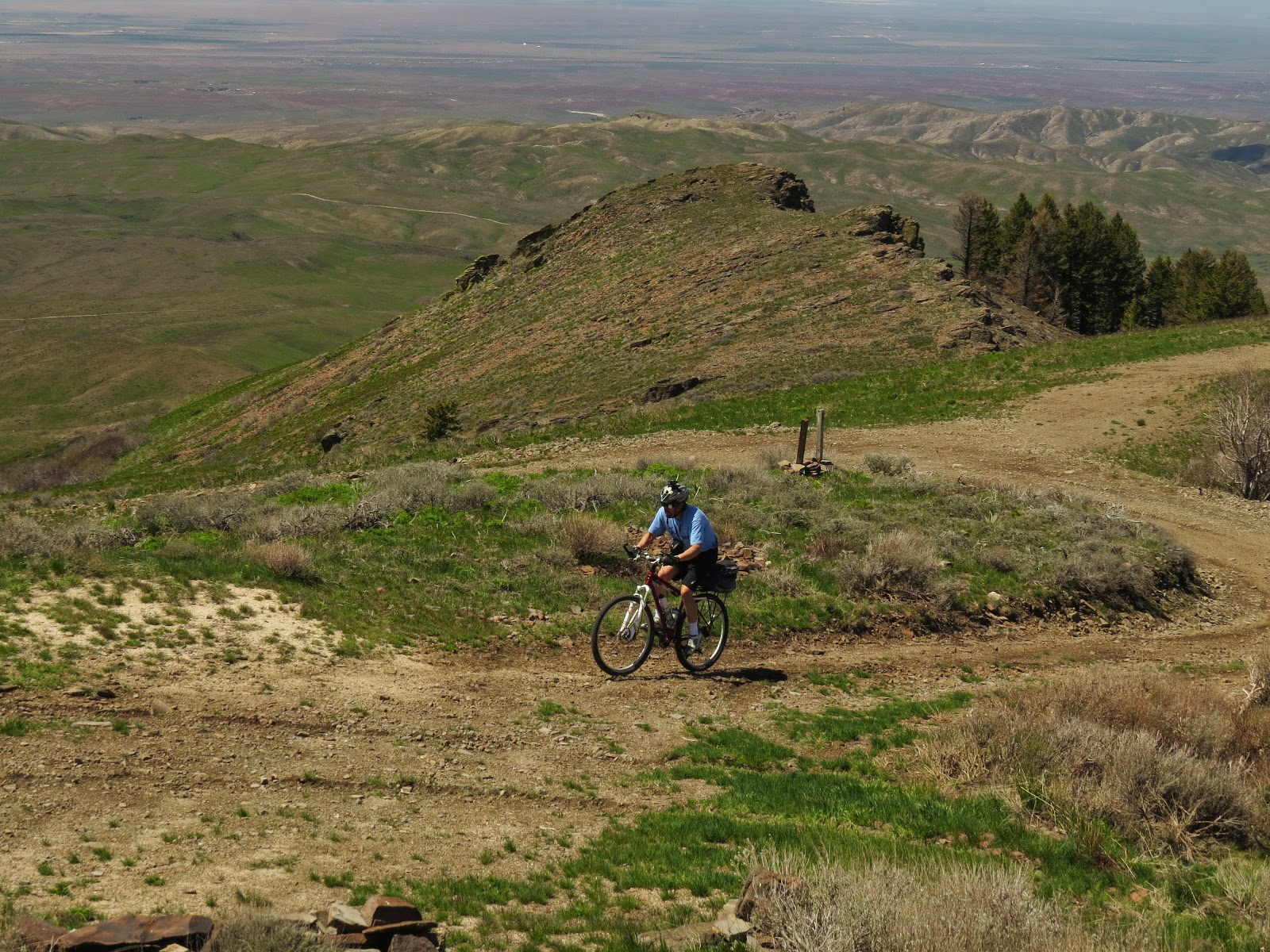
The LT on the way up


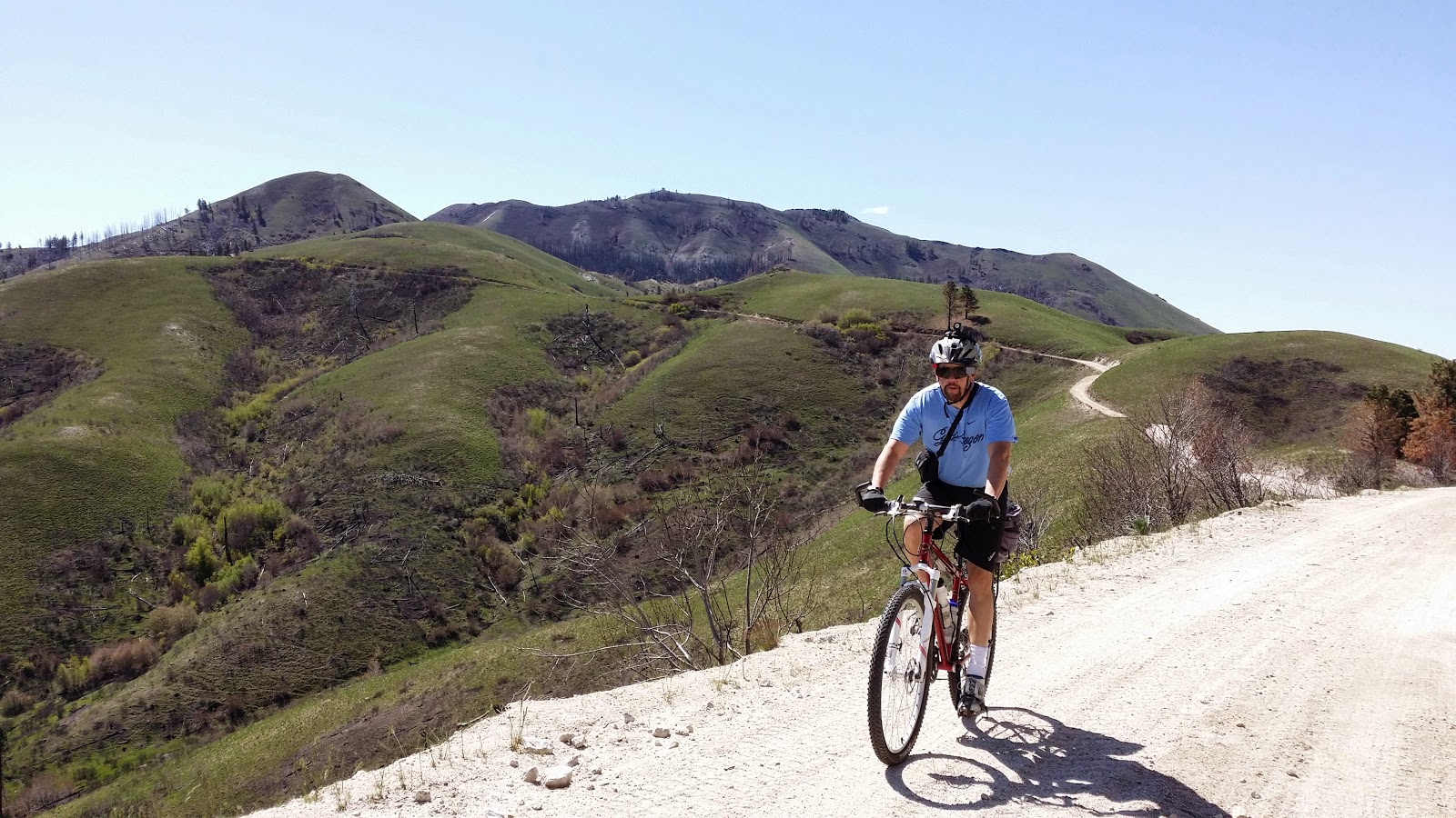
The LT higher up the mountain


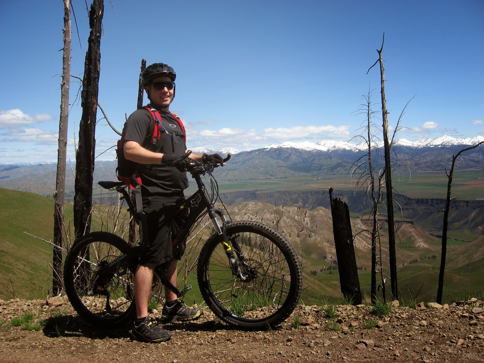
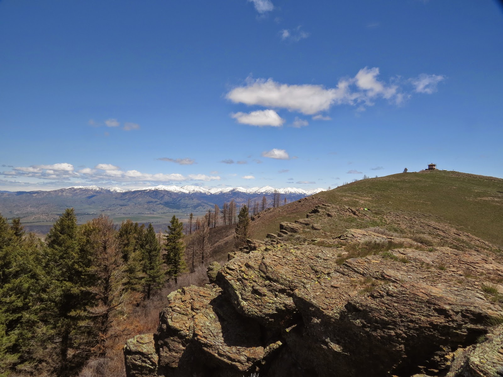
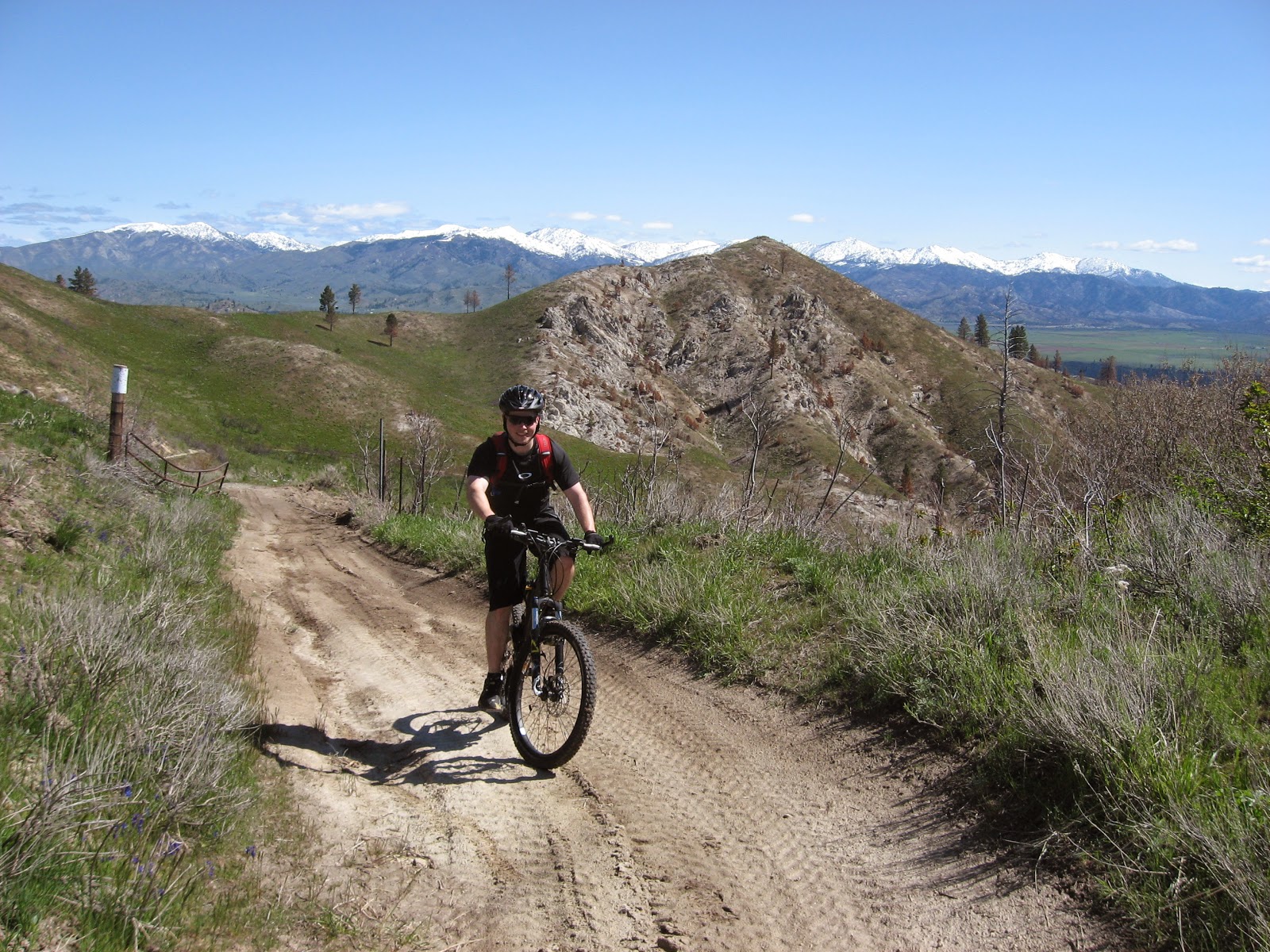
The LT in the burnt out section of timber just before the top overlooking Boise River

Steve on a reverse shot on the way up - on the descent  he was well bundled in several layers

Near the top of the mountain is a sign "Jeep Trail 3/4 mile". My odometer showed the top was 1.1 miles, and that section was very steep requiring my 17.5" (granny 1) gear all the way.. The LT hasn't been on his bike a lot this year, and seemed worn out when he reached the top. We met a hiker, Paul Turner who talked to us for a few minutes before heading off as we started our nearly one hour lunch break.

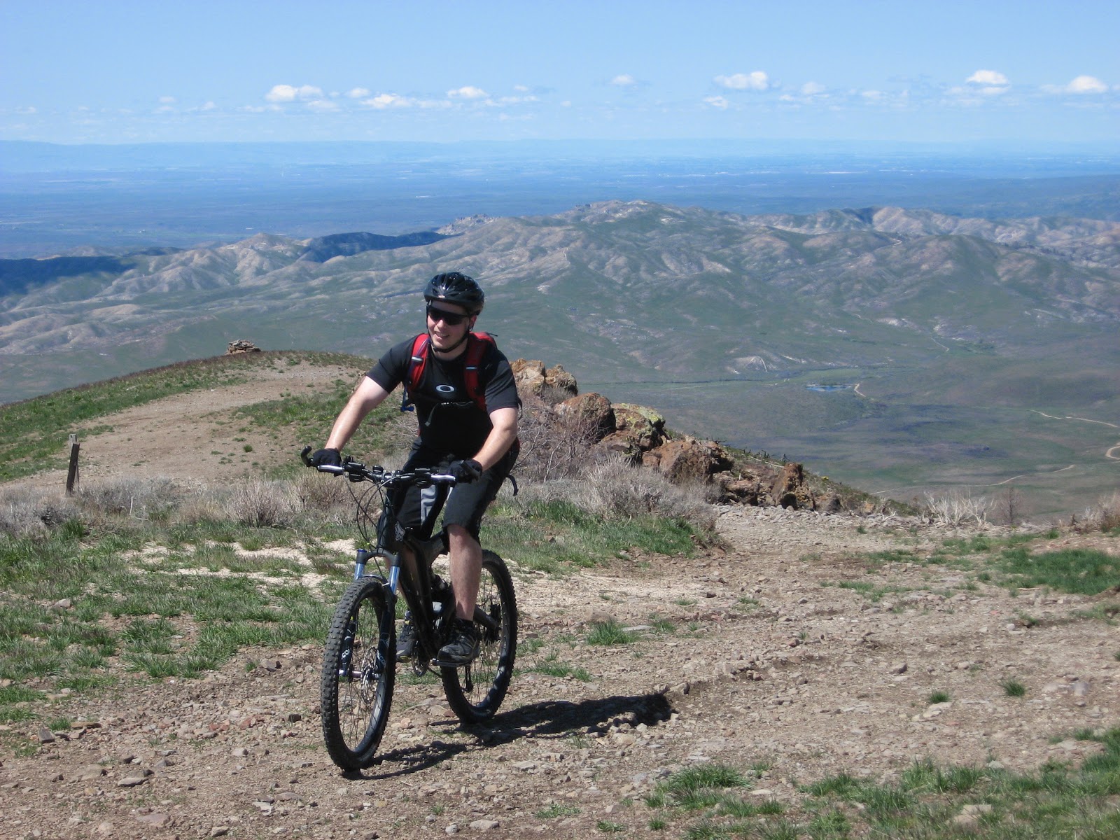
The LT reaches the top


Steve, the spot on the road,  nears the top- photo by Paul Turner


Steve reaches the top- photo by Paul Turner


Steve & Will enjoy lunch (see the bright yellow spot)- photo by Paul Turner


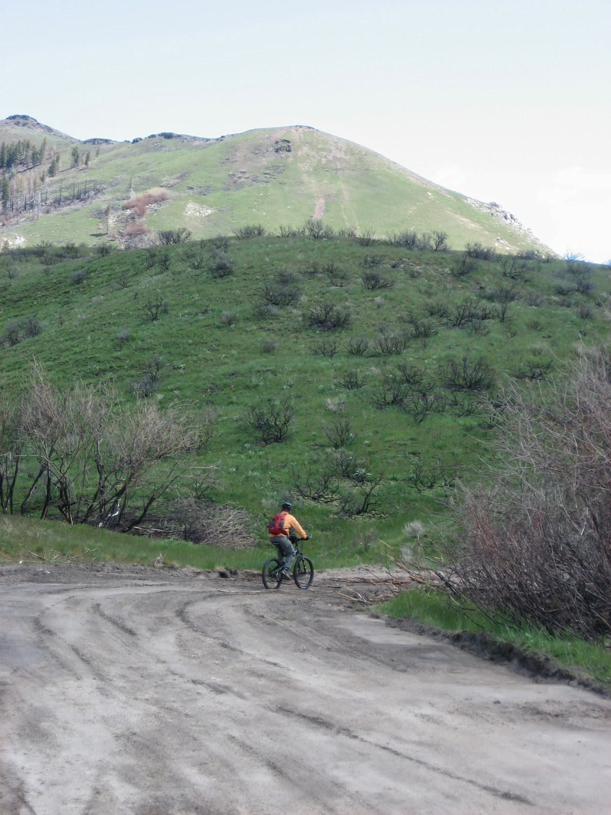
The LT toward the bottom


After that 90 degree turn at the parking lot, the climb had seemed warm even as we reached the top, but the long lunch break and first part of the descent required our winter clothes. Just after we reached the parking lot where we had planned to park, Paul arrived having hiked down a much more direct trail. The LT's energy was gone, but the car was still 3 miles uphill from there. I was glad Paul didn't offer him a ride over those 3 remaining miles!  Would he have succumbed to temptation?  The wind had died down considerably since the start when we had to work to go down that hill, but it still provided some assistance on those last 3 miles up which the LT would describe as steep and tiring!  I wouldn't disagree with the steep part of that description!

Good ride, LT.  I look forward to more summer adventures, and I'll have my lights changed and ready for the next adventure!


Happy cycling for fun, fitness, and transportation,


Steve.

08 October 2013

An Oct Weekend with TRC


Wednesday Night Ride:  Lewiston Loop 28.5 Miles 2:41 Riding Time

Doug met me right at 6:00 to begin the night ride, but I wanted to meet Bill Arnold, so I lost my keys in my car's bike rack delaying the start by 10 minutes.  Bill Arnold rode by just as we were leaving and accompanied us to Hell's Gate where we met Sean, and Bill headed for home.  Sean and Doug both like climbing Volmer Rd, and I had the 29er, which makes me not object to gravel, so we climbed it.  Lights weren't really needed until we got to the top, but it was warm enough to be in shorts and T shirt.  Sean invited us by his house.  Doug headed home on the shortest route, and I joined him and Carol.  From there I decided finishing the Lewiston Loop was my preferred option.  Sliding down Lindsay Creek Rd with a 1200 and a 650 lumen light with no traffic is a lot of fun.  I miss the warm nights of Lewiston and the night riding it offers!

Mission Creek 32.5 Miles 3,839 ft of gain  4:49 Riding Time

Bill had suggested one of his favorite rides,  Mission Creek for Friday.  It's one of my favorite mountain bike rides too, so I was glad for the suggestion.  Sean and Doug both advised there were some wash outs just after the 2nd creek crossing  that may change my opinion.  They weren't sure how much distance the wash outs covered, so I was looking to determine what had happened to one of my favorite rides.  The morning was cool and fog caught in places, but it wasn't long until I was in shorts and T shirt though Bill kept his tights and arm warmers throughout the day.   We left from Jacque's Spur which meant a couple miles of smooth blacktop and some gravel, before the mountain bike section begins at the the quarry.  It's a fairly easy jeep trail through the timber until the first creek crossing, which is easy in the fall.  Ask Mike Riddle about it in the spring where he found it's deep enough to submerge a prone rider who falls over demonstrating "how it's done".  No, Mike, I'll never forget that one or tire of telling people the story!

The 2nd creek crossing is usually hopping from boulder to boulder while carrying your bike in an area that keeps 4 wheelers from crossing, but in the low water of Oct, we found a place where we could step from rock to rock pushing our bikes through the creek and where 4 wheelers or even jeeps could cross this time of year.  It's here that the ride becomes steep, and it's here that Doug and Sean had forewarned us of the wash out.  With their warning, I measured this section at 0.3 miles.  It's steep enough and with enough rocks to be challenging before the wash out happened.  I would have thought riders with their strength and technical skills could still ride it.  I rode maybe a 25% of it.  The gullies are hard to avoid when one is grasping for breath, but I think avoiding them would be easy if one weren't gasping for air as I was.

Bill reaching the top of the 0.3 mile section.  Is that determination on the face, a sign of exertion, or both?  

The wash out shown above is typical of this section- not so deep but a bit difficult to navigate given the steepness of the trail.

Bill above the steep section- a typical view of the Mission Creek Trail

Bill started losing tire pressure but thought pumping it up might work.  In Winchester he got a free full fill up at the Gateway, and we had lunch in the cafe and decided to return via Crystal Creek- a steep rather technical trail that is the only significant contributory to Mission Creek flowing in North of Winchester.  Although the day was beautiful and warm by this time, everything was soaking wet especially in Crystal Creek canyon where the sun doesn't shine this time of year. 


Bill pumping his tire just before Crystal Creek become steep
That made the decomposed granite, where several TRC members have crashed in the past, sticky and easier to ride than I've ever seen it.  There are two apparent turn offs to the left.  We take the 2nd one, but I forgot that, so we made a small diversion to check out other mountain trails.  Back on Crystal Creek, we found some real erosion- the trail suddenly loses 5 to 6 ft of itself creating a hole that Bill discovered and warned me. 
Looking at Bill in the big wash out- it's deeper than it looks here

Steve starting to descend into the hole- it's still deeper & steeper than it looks
This washed out section is only 20 to 30 feet long- but be warned of it on your next ride.  Bill changed his tube at the junction of Crystal and Mission Creeks.  I'd thought about bringing my lights just in case of problems, and after the upper Crystal Creek exploration and the pump ups knew I'd erred in not bring one..  A half hour isn't much time until you're out half an hour on a dark trail.  However, the canyon depth had convinced us we were losing light faster than was actually happening!  We sped up, and of course Bill is willing to take the downhill faster than I.  Riding down the Mission Creek wash out section was no problem. We were back at the pickup just as the sun was setting.  A great ride.  Thanks, Bill, for the adventure!

Tekoa Re-Loop 60 miles 4:36 riding time
 Bill had just reminded me that being mountain bike "in shape" is not quite the same as being road bike "in shape" . I'd also given some thought to my not being on the road bike since July, and it's been much longer than that since I've subjected myself to the discipline of ridding in a pack of road riders- not that speed is ever my thing.  Then as we took of from Palouse my speedometer stopped which stopped me a couple of times.  Sean fell back with me and attempted to help, but I think it's internal wires rather than the usual misalignment of magnet and reader.  That put me in the tail, a position I held for the day. One of the other 7 riders would usually fall back and talk to me, so I was never alone or dropped.  We took a break in Farminginton- in the shade- unusual for the Palouse in Oct.  On to Tekoa for lunch, and back to Steptoe where we had members of a motorcyle gang photo us. Carol did a post church ride- meeting us in Garfield and riding back to Palouse with the group, but she missed being in the group photos.

Linda, Denise, Marilyn, Sean, Corrie, Doug, Jen, & Steve in Steptoe- where nothing is ever opened on a Sunday

Members of the motorcycle gang wanted to join us for the next photo!
It was good to be back with old friends for the long weekend we retireds may enjoy.  Thanks TRC for a great weekend!

Happy Cycling for fun, fitness, and transportation


Steve

06 August 2013

Bicycling Around the Tetons

When Scott, Jen, and Doug suggested a mountain bike ride circling the Tetons covering Adventure Cycling's Great Divide Mountain Bike Route (GDMBR) through Idaho, parts of Wyoming, turning West back into Idaho, and then turning North to complete the circle around the Tetons, I jumped at the chance. Since retiring about 9 months ago, I've been thinking a lot about riding the GDMBR, but frankly, I'm afraid of multiple days away from resupplies as well as the lack of water from the Great Basin south. I feel more qualified for road bike touring with daily stops for groceries or even cafes.  This would let me sample the GDMBR with good company and the excellent food these guys always come up with.

Day 1-  27 Jul 13
Island Park, Idaho to Polebridge Campground, Idaho  
43.7 miles 4:40 riding time
About noon we left Curt and Diane's who are Scott & Doug's friends who live about 2 miles from the MT/ID divide.We sped down SR 20 and hopped on the route about 10-15 miles into its Idaho section riding quiet backroads in the the timber, and by Big Springs, where the North Fork of the Henry's Fork of the Snake River suddenly springs forth from old rhyolite lava flows.   I found the springs fascinating, but the others have been here before, and the area was crowded with tourists, making us rush off to the undeveloped Polebridge Campground (old fashioned out houses only), but with the not so warm Warm River to take a dip in.

Day 2-  28 Jul 13  
Polebridge Campground Idaho to undeveloped campground, Wyoming 
 45.8 miles  5:56 riding time
 I think there's some beautiful scenery here, but I'm too busy negotiating the loose trail to notice

We discussed at length whether to take AC's main route down the old railbed to near Ashton or take the alternate route over another mountain.  AC's map advises that the railbed is extremely soft.  What they don't say is this rail-to-trail is open to motorized vehicles, and ATV's have torn up the bed making for a 4 to 6" layer of small gravel mixed with sand that was difficult to descend and which would be nearly impossible to ride up.

At the side of the "rail trail" Scott changes his brake pads unloading only the rear panniers - assisted by Doug

We struggled with the dug up gravel/dirt.  Just after Scott said, "I think there's some beautiful scenery here, but I'm too busy navigating the loose trail to notice", we left the trail for nearby roads.  ATV's are everywhere here, on the "rail-trail", on the many ATV trails which frequently parallel the rail-trail, and on the nearby roads. When the road did a big "S" shaped blind corner, we heard ATV's.  Doug didn't like the something in the sound, and suggested we leave the road bed.  Just in time as two riders paralleling each other came round the corner taking the entire road bed and parts of the shoulders.   Narrow escape, and the rider taking his half out of the left side of the road slowed slightly and temporarily.  By the time they reached the next part of the "S" turn, they were completely parallel to each other again taking the entire road and parts of the shoulders as they nearly took out Scott and Jen.  You'd think this irresponsible driver a teen with an undeveloped sense of self-preservation who was lost in the joi de vivre, but you'd be wrong.  He was  at least 30 without a smile or upraised countenance. I can only hope if these guys hit a big pickup, the pickup driver isn't injured.

The trail enters a canyon, and about half way down it, the dug up nature of the trail moderates, making it enjoyable- just in time for the best scenery of this "rail trail" - if "trails" opened to motorized vehicles qualify for that term.  Both Scott and I had wanted to ride this short tunnel which had been built to avoid the falling rock of the earlier route.  The tunnel is now closed and riders are diverted to the earlier railbed which is still subject to "falling rock".

Doug just before we reach the tunnel

Jen at the mouth of the closed tunnel


Scott on the tunnel diversion


The Warm River looking down from just outside the tunnel


Just after the tunnel the route is finally closed to ATV's. It becomes pleasant for the mile or so down to Warm Springs Campground. There, we inadvertently left AC's trail to climb an extra mountain, but we were soon back on route. The road narrowed and got rough as we reached the Wyoming border.  Here we met our first GDMBR rider- carrying only a tent in the front, a sleeping bag in the rear, and a backpack on his back!  Talking to this guy, I fell behind the group, and as I tried to catch them occasionally wondered if they'd found a campsite I couldn't see.  Finally I caught them waiting for me at the top of a steep grade, and we soon reached our beautiful, undeveloped, but only mosquito infested campground of the trip.  Mosquitoes had us all in bed by 2000 hours.

Scott builds a fire in our "undeveloped" campsite- note the benches someone has built- photo by Doug

Day 3-  29 Jul 13  
Polebridge Campground to Lake Jenny Hiker Biker Campground  
46.1 miles 4:21 riding time  Our Wilderness Experience is over

Most of the campsites posted on AC's map in this area are being shut down by the USFS making our last night's camp decision a very good one.  It was a pleasant downhill to where our quiet backroad met the main highway between Yellowstone and Teton Parks.  We were in a nearly 2 acre parking lot of tourist complex when 6 large Harley's drove up- one playing Lay Down Sally loud enough to "entertain" the entire complex (at least the speaker quality was excellent-   the best I've ever heard on a motorcycle or car/pickup- so loud with no distortion), and Doug competing with the music announced, "Our wilderness experience is over".

the crew: Doug, Scott, Jen, & Steve in front of Jackson Lake

From there shoulders were wide and traffic fairly heavy to Jenny Lake.  On this section we met Chris and Heather bicycling from their home in central B.C. to SLC.  Our combined group almost immediately ran into construction with us bicyclists told to immediately follow the pilot car which would probably go a little slower than we'd like.  I thought we were in a sprint going 15-20 MPH on loaded touring bikes- mountain bikes at that. I determined the group wasn't going to drop me.  We dropped Chris and Heather.   The pilot car finally pulled over and told us to ride ahead, and she'd follow us- relief.  We arrived at Jenny Lake Campground to find all signs read  "Full".  We decided to see if the site contained a hiker biker section, which it did with only one cyclist, Roberta, (her blog was never finished, so it's more an introduction than a blog) camped in the section.  As soon as we had camp set up, a heavy 15 minute thundershower arrived.  Chris & Heather arrived, and we caught up on the day's activity, and Doug and I went for a quick swim in Jenny Lake.  Dinner was started, and a heavy 45 minute rain arrived turning our tent pads into wading pools.  Scott carries a very nice tarp that protected our dinner table!  Roberta finally showed up- she was taking a rest day- alternating naps with trips to the nearby convenience store for snacks.  Cycle touring can do that to a person!  She's inspiring- 59 years old, all of 110 pounds, a roadie racer who decided to buy a mountain bike this year, and then took off on the GDMBR solo!

camp in Jenny Lake Hiker Biker Section

Doug takes advantage of the rain- polishing off any dirt the rain missed

Roberta, Steve, Chris, & Heather in front of one of the Tetons- meeting & getting to know fellow tourists is a highlight on tour

Day 4- 30 Jul 13:  
Jenny Lake to Wilson, WY 
27.9 miles 2:31 riding time

The morning greeted us with views like this:
morning view of the Tetons across Jenny Lake- from our campsite


We rode a bikepath out of the park and caught a twisty little road into Wilson with views like this most of our short day:

Doug, Scott, & Jen on our way to Wilson, WY
Each of the 4 of us had brought 4 sets of cycling clothes, and Teton Pass awaited us, so we took a half day of riding, enjoyed a great lunch at Nora's, and washed clothes. Dinner didn't work out so well for Doug and me. We went to a "nice" place. Doug and I ordered the waiter's suggestion of portobello something or other, and got a nice appetizer in lieu of dinner. So, we filled up on Scott's pizza as well as dessert! We should have gone back to Nora's for a more of a home cooked dinner suitable for hungry cyclists.

Day 5- 31 Jul 13  
Wilson, WY to Tetonia, ID 
37.7 miles 3:38 riding time
Teton Pass at 8,431 ft starts on the edge of Wilson and provided our challenge for the day.  Fortunately for us, the old highway has been turned into a bike path (no ATV's allowed!).  It's steep, but about 1/3 of the way up we started meeting supported tourist from Bike and Build
and the conversations mostly made me forget about the climb.  Most of these cyclists weren't really cyclists when they started; they each raised $4,500 in pledges for affordable housing and were given a Giant racing bike to ride across the country.  Some in the lead, whom we never met, brought their own bikes.  They stay in churches and community buildings each night.  I believe there were 21 in this group.  Many were pushing up the hill, and doubtless could have used a third chain ring that even a light touring bike would provide.  Maybe a touring bike is the right bike for a cross country ride?  Ask those pushing doubles up Teton Pass!

Steve, Doug, Jen, & Scott at the top of Teton Pass
We had lunch at a nice campground on the WY/ID border and rode into Victor where the high desert started.  With Dandi of "Bike and Build" we rode a great paved bike path from Victor to Driggs where we stopped for groceries and lost our Bike and Build companions who were headed for Ashton's Lutheran church, and on to Missoula for a "build day".

Early in the afternoon we checked into the camping area of the Teton Mountain View Lodge.  The owner is hard working, conscientious, and keeps a clean nice looking place.  However, after we checked in he informed us the sprinklers would go on at 2230 hours promptly, and we should choose a tent site along the fence where little water sprays!  That took the wind out of my sails.  I've never read a cycling blog with middle of the night sprinklers that ended well for the cyclist!  I decided to sleep on a pic-nic table under cover while Scott and Jen took the dry back corner, and Doug squeezed his narrow single person tent along a barbed wire fence on a dry spot on the edge of the property. I've met a couple of cycle tourists who regularly sleep on pic-nic tables to avoid time spent on tent set-up and take-down.  It didn't work so well for me.  The site has a big bon fire area that wasn't used until after bed-time when 4 loud drunks showed up.  They stayed there a while and then moved to the hot tub turning on its flood light- which was in addition to the 100 watt equivalent CLF bulbs that were everywhere.  About 0200 hours the drunks retired, and I finally fell asleep.  I never heard the sprinklers come on, and everyone stayed dry, so the effort to stay dry was likely futile.

Steve's pic-nic table bed- photo by Doug

Day 6- 1 Aug 13
Tetonia to Warm River Campground 
35.0 miles 3:42 riding time
The route was planned on various gravel roads, but we soon spotted a rail trail (a real one- no ATV's allowed).  It's great to have adventurous companions who will take a chance on an interesting trail that goes our general direction but wasn't in the plan.  Old rail beds which are generally built on ridges have much better views than most roads, and this one gave us some great views.


Jen, Scott, & Doug on the Ashton Tetonia Rail to Trail


Scott, Jen, & Doug head into a forested section of the Ashton Tetonia Rail to Trail

Doug on a trestle crossing

With such a short day, I was soon looking for something to do with the afternoon.  Warm River is a very nice campground, and children float the river through the campground throughout the heat of the day.  I had no inner tube, so I found a fishing dock in the deepest part of the river where I could jump in on one side and let the current carry me 15 feet before climbing out.  While I was doing this, Jen was trying to talk Scott or Doug into floating the length of the campground on their sleeping pads.  When I got back to camp, Scott immediately suggested I take his sleeping pad and float the river with Jen to which I quickly agreed.

Jen & Steve floating the Warm River

The sleeping pad survived several brushes with the round river rocks in the shallow river, and the float was fun until we went under the bridge.  Suddenly the back 2/3's of Scott's sleeping pad was flat.  The front section would hold me up, but I decided to check it out.  A 10" cut in the middle of the pad apparently from a sharp rock had ended our fun, so our floating trip and Scott's compfy nights were over.  I offered Scott my 3/4's thermarest, but Scott politely declined.  He and Jen spent most of the afternoon attempting to patch his mattress, and got it to where it would hold air for an hour or so before needing a middle of the night blow-up.

Day 7-   2 Aug 13
Warm Springs Campground to isolated spot near Island Park, ID 
53.9 miles 6:09 riding time
Faced again with the choice of GDMBR's main route up the ATV trail or over an additional mountain, we chose the over the mountain option.  It's amazing how many miles of almost unused paved road are here.  Coming off the mountain we enjoyed a couple of great vistas. Once on the bottom, we met a young couple excited to be in the USA for the first time and on the GDMBT- my guess is they're from the North of England, but their accent threw me.  We failed to get their names or home.  They, like everyone else but us, had heard what shape the former rail to trail was in.  After leaving them Scott took us on 1/4 mile of rail-trail (ATV trail) just to remind us how good it was not to have ridden it today. 

Doug, Steve, and Jen at the final campsite- photo by Scott

Scott and Jen knew this area and took us to a spot the moose had trodden badly this spring making a poor sleeping surface for a guy without a mattress and even a guy with a thermarest.  We'd taken it fairly easy on this trip, and this was the only day I'd call a full day of cycling, but you take the camp spots as you find them.

Day 8  3 Aug 13  
isolated spot near Island Park, Idaho to Curt & Diane's 
25.1 miles 2:37 riding time
I'm sure Scott was glad last night was his last night in the tent without a reliable mattress; I with a thermarest thought the moose prints somewhat uncomfortable!  We were going to finish up back on the GDMBR- at least to just before Red Rock Pass takes its route into Montana.  For a short while the route had us on single track which was a treat.  All too quickly we were back at Curt & Diane's who had stored our cars.  They provided showers, a great burrito, melon salad, and home-made chocolate chip cookies.  Thanks Diane & Curt!  We promised not to list them as "Warm Showers hosts" to passing GDMBR riders!

Doug, Jen, Scott with the celebratory beer, and Steve at Curt & Diane's


Summary:  
315.2 mile riding time 33:34 over 8 days
It was a beautiful ride combining a sample of the GDMBR, the bike path over the Tetons, and the Ashton to Victor rail trail. This was the least demanding mini-tour I've done with these guys, but each day was varied and fun. I've tried to convince them to do the entire GDMBR with me next year, but work gets in the way of their personal lives. For other Pacific Northwesters or those just east of the Divide, this is a good route to give it a preliminary try!

Doug takes great photos always and here's most of his work.


Happy cycling for fun, fitness, and transportation!


Steve

01 July 2013

Cottonwood Creek Hike a BIke with the LT

Roughly 23 miles with riding time of 4:20


"I'll choose a route in the mountains that will let us escape the 100+ degree heat this Saturday" suggested the LT. Despite his questionable history of route selection, I agreed-  with the provision that he'd select no motorcycle trails.

This blog would be much better with 3 photos we didn't take- the fancy bridges at the bottom, an angry coiled 3' bull snake, and a deep creek crossing,  - but those photos weren't taken.

After about an hour and half of driving we arrived at the Cottonwood Creek trailhead.  There were 3 steps to start- a questionable welcome for mountain bikes, and within 100', an aggressive bull snake was coiled, raising its head, and hissing loudly at us- giving us a "welcome" or a warning about the ride we should have heeded.

Steve on the wide pleasant section
Will enjoying the views of the bottom section
The first 3 creek crossing were on wide expensive bridges (no photos). At the 4th crossing, there was suddenly no bridge. The water was about 2' deep, and the LT, despite his instinctive dislike of water, was quickly taking off his shoes and fording the stream. I tried pushing my bike through just downstream while balancing myself on two broken logs, but I gave up when the front wheel was completely submerged and the first broken log threatened to roll me. I couldn't find a shallow place (we were hemmed in by the brush), so, I followed the LT's lead fording the 2' cold water. There would be no more bridges, but the other creek crossings were only a few inches deep. Most of this mountain had been burned a few years ago.  Trees haven't sprouted yet and brush is taking over where the USFS hasn't maintained the trail, which is most of the ride. Soon we were riding in conditions like this:

Steve, still riding through the brush!


We were only about 2 miles into the ride when the brush overtook the trail, and I suggested to the LT that we might turn around. He seem shocked at the suggestion. "Of course we would continue through the brush to the top of the mountain" was his attitude.  The brush continued to thicken, and soon we were both forced to push- riding only short sections in thinner brush here and there.  The brush had lower dead branches that were very adapt at grabbing my stirrup style pedals, and bringing my pushing to a miserable end until I was able to disentangled the branch(es) from my pedal.  Unknown to me at 4.1 miles the brush pushed my odometer's magnet all the way to the rim.  When the mileage stayed at 4.1 miles with no mileage gain as I put forth great effort, I thought I'm really not enjoying this route which the LT had chosen. I'm used to magnets turning slightly or even sliding down the spoke an inch or two which is easily adjusted, but my magnet appeared to be gone. After about 2 miles, the LT noticed the same problem with his odometer, and found his magnet had been pushed up against the wheel by the brush.  My magnet had done the same thing, so I slid the magnet back where it belonged, and it started recording mileage again.

Lest the brush wasn't enough, stinging nettles do well in recent burns, and many got us going into or out of the brush. Mosquitoes and cockleburs also left their mark on our insulted legs.

Crossing one of the wet bogs in the brush, the LT saw me step on a little water snake that in response apparently struck at me in my lycra protected legs, but it missed me, and I missed seeing the little serpent.

The plan had been to eat lunch where the trail meets a mountain road, ride up to the old lookout, and then enjoy a fast descent on the USFS dirt road.  We were hungry and I was tired, so we ate lunch at the first shade where the burned area met the remaining forest. Here we both drank the last of our water.  The LT keeps saving weight by not carrying his filter, and I always think I can rely on that water filter that stays on his shelf!  The cool small stream below us was tempting, but there were beaver dams below, and I believe beavers are a source of giardia, so our mouths began to dry.  Here there was no brush to grab our bikes and scratch our lycra clad legs, but it was generally too steep for our tired bodies to ride.

The LT nears the top on a rideable section
we finally reach the USFS road!
The plan to ride from 4,000 ft to 7,000 ft did take us into the cooler air, but without water, we decided not to continue up what was probably another 1,000 ft to the fire tower. Views from the height we reached were great.


View from the top
The LT at the top on his downhill racing bike
enjoying the descent
Nearly all descents are fun, and this one was no exception- meeting no cars on this dirt road with the green grass strip down the middle, it was a great descent. A few short steep climbs kept it interesting, and soon we were back at the hot pickup. I had suggested bringing a cooler with cold water, but the LT thought two quarts of hot gatorade would be sufficient. That drink reminded me of drinking hot jello when a child, but it beat a continued parched mouth. Cold water would have been great, and I believe we'll take a cooler for the pickup next time, and maybe get that filter off the shelf where it looks so outdoorsie!  In a few days our scratched legs should be recovered!

Happy cycling for fun, fitness, and transportation!


Steve
08 October 2012

Old West Scenic Bikeway - Back to the Blue Mountains

While mountain biking in the Blues last August, Doug mentioned he'd be interested in a short tour this fall, and with my retirement scheduled for 30 Sep, we quickly worked out a plan to return to the Blues on road bikes- we ended up on RideOregonRide Old West Scenic route beginning and ending in John Day. A cold dry front arrived the day before departure bringing cold and steady Western winds that weakened a bit each day.

John Day Oregon to Bates State Park 33.7 miles 3:00 hours riding time
We met in John Day where we had lunch and headed up the John Day River passing through Prairie City (all services) before beginning the steep climb to about 5250 feet elevation, and dropping back down slightly to Austin Junction. Camping and showers were available, but we decided to ride on down to the new Bates State Park only 1.5 miles away.

4 day ride on the Old West Scenic Bikeway Oregon

Setting up camp at Bates


We rode back to the Austin House for dinner- salmon for me and some fish medley for Doug. We rode back to camp at dusk. Temperatures were falling rapidly, so we both crawled into out tents preparing for a cold night.

Day 2 Austin Junction to Long Creek, Oregon 52.8 miles 4:30 riding time
It got colder than we expected falling into the mid teens. I stayed warm curled up in my sleeping bag, but the cold kept me there for nearly 12 hours- nights are long this time of year. Doug suffered a bit in the cold. We both got up shortly after dawn and walked back to Austin House which doesn't open until 0800 hours PDT. The temperature was 18 as we were finishing breakfast. It was still below freezing when we stuffed the sleeping bags and loaded up the bikes. We stayed bundled up and took off with a steady but mild head wind.

4 day ride on the Old West Scenic Bikeway Oregon
Bundled Steve departing Bates

4 day ride on the Old West Scenic Bikeway Oregon

Fall Colors had begun with arrival of the cold front that characterized our ride


Bates is near the headwaters of the Middle Fork of the John Day, and the route followed its winding path down into the steady head wind. When the river met highway 395, we turned south to follow the state highway with minimal traffic but with another steep climb. We crossed some high desert arriving in Long Creek in late afternoon. Although camping was available, we headed to the Long Creek Lodge to avoid another night like the last one. I had no desire to lie in a warm sleeping bag for 12 hours to stay warm, and Doug had no desire to chill for 12 hours in his. The town of Long Creek doesn't offer much, a motel and a convenience store where they'll fry hamburgers- but be warned it closes at 1800 hours PDT- pretty early for cyclists. The motel worker warned us the store didn't open until 1000 hours, so we bought breakfast foods to add to the instant oatmeal Doug was carrying. The convenience store clerk said they usually opened by 0900, but that too sounded too late.

Day 3: Long Creek, Oregon to Dayville, Oregon 61.2 miles  5:02 riding time
The temperature was again below freezing with ice on the side of the road as we left town, but it was much warmer than the night before, and unlike our tents, the motel had heat.  The motel clerk warned us the route would be busy and the road winding.  The latter was true, but we saw only a couple cars between Long Creek and Monument.  Most of the ride down was windy and steep, but that makes it fun.  Oddly the temperatures were colder at the bottom, and I added a sweatshirt to what I was wearing as we left Monument's grocery store.

4 day ride on the Old West Scenic Bikeway Oregon

Steve departs Long Creek
 
 
Doug enjoys the descent to Monument
 
4 day ride on the Old West Scenic Bikeway Oregon
Steve beginning the climb up the South Fork of the John Day

The huge well maintained Kimberly Orchard added to the interest of the ride about noon.  At mile 42 we arrived in Kimberly, but were disappointed to find both the store and restaurant were closed- with the appearance the closure was permanent. We stopped by the Fossil Bed National Park and the Cant Ranch Museum which are only about 100 feet apart and enjoyed the break, the sights, and then riding through the Painted Canyon.  When we arrived in Dayville, we had the choice of an RV Park, or the Presbyterian Church which has allowed bicyclists to stay for free since touring took off in 1976.  I'd never stayed in Dayville despite riding through the Oregon section of the Trans Am several times, and reading some recent blogs made we want to check out the church.  It turns out they were having a "harvest auction" that evening to raise money for the assistance they give the poor of Dayville.  The harvest auction includes fruits, vegetables, and baked goods; stuff a cyclist would really like- except where will it fit in the panniers?  They assured us we wouldn't be in the way, and invited us to their pre-auction chilli feed and auction.  Small town activities always entertain me well on tour, so this just added to the adventure for me. I think Doug enjoyed it too; it beat watching PBS and old sitcoms the night before or the first night's huddling in the tent to stay warm!


Goods to be auctioned at the Harvest Auction- fuzzy photo by Steve
 

4 day ride on the Old West Scenic Bikeway Oregon

Our Bikes where they spent the night in Church
 
 
4 day ride on the Old West Scenic Bikeway Oregon


A stained glass gift to the Church from a previous bicycle guest


Day 4 Dayville, Oregon to John Day, Oregon 31.5 miles 2:46 riding time
Despite the cold which still hadn't left the area, we left early- not wanting to stay for church or be underfoot when the first members arrived.  Finally, we had a slight tail wind  pushing us up the valley to John Day.

It was a great October trip that would have been better without that cold front, but still definitely worth doing. Here's a hotlink to Doug's photos.

Happy Cycling for fun, fitness, and transportation!

Steve