20 July 2015

Bicycling Oregon's Grande Tour - 3 Day Version

Sean, Carol, Christy & I are preparing for cross country bike ride next year, and in preparation, we thought we should try a mini tour.  We were glad to be joined by Amy & Paul, friends of Christy's from Portland who can't join us for next year's tour, but who would make great additions. We had planned on riding The Old West Scenic Bikeway, but a week or so ago  decided its elevation gain may be too much for the group's training at this time.

Christy gets credit for all reservations and planning.  The 4 of us  going on the tour met at Eagle Hot Lake RV Park (it's clean, spacious, nice grass on which to set up tents, pleasant staff, but be forewarned if you're planning to ride the Grand Tour- they have a mosquito problem).  We'd planned to ride the 10 miles into La Grande for dinner but with a late arrival, we drove into La Grande for a Mexican dinner which did not sit well for 3 of the 4 of us.  Before that problem settled in we celebrated our arrivals with excellent cherry pie from Carol & Sean's orchard and oven.  Amy & Paul arrived at 0900 the next morning as scheduled.  Carol had made us save pie for a 2nd breakfast, but luckily there was enough for everyone to have breakfast pie!  I'd like to blame Amy & Paul for the 0930 departure, but we took that long to repack from our car camping.

Celebrating the start with Carol's home made cherry pie- cherries fresh from Carol & Sean's orchard


Day 1   48.7 miles  Riding Time 3:36  La Grande to Baker, OR  elevation gain 1,644 ft
 
The group departing for the 3 day tour: Sean, Paul, Amy, Carol, and Christy (missing- Steve the photographer)
We rode the 10 miles to Union in a pack carefully maintaining 15 MPH through the slight ups or downs like a racing team pack but with this slower speed.  I was thinking, this isn't going to work for me, touring is more social with little emphasis on speed, but when we reached Union, the hills began; we picked up a sweet tailwind that nearly blew us up the hill, and the group broke into small conversational groups and paid little attention to speed- my idea of touring. However,  I can handle just fine a 15 MPH warm up get my body into bicycling mode.

investors in wind power apparently don't believe the tail wind we were enjoying is unusual
Sean arrives at the top of the first hill
Amy arrives at the top of the first hill

Doug's rule:  We'd taken a break just before the top of the hill to watch a train come under the overpass we were standing on, and I rushed to the nearby top thinking it was a good place to photo everyone passing by.  They all came crawling to a stop in front of me - just when I wanted the photo.  I taught them Doug's rule:  If I'm pointing the camera at you, don't stop until you've passed me by at least 10'.  It's Doug rule, that I learned by violating it once, but it's now in place for our future rides!

We passed through North Powder where we had a lunch break at a pic-nic table provided by the laundromat/motel.  We were soon enjoying a close up view of the Elkhorn Mountains.

riding toward the Elkhorn Mountains

a little closer to the Elkhorns
just about to turn toward Baker
We enjoyed close up views of the Elkhorns most of the way into Baker blown by that sweet tailwind.  3:36 seems like a short touring day, but with the lack of sleep after the Mexican dinner, it actually felt like the right amount of miles.  We headed to the Mountain View RV Park (clean, pleasant staff, NO mosquitoes).  There was some celebration in Baker, so we caught what was supposed to be the free shuttle (actual cost $1 each way) downtown for dinner at Barley Brown's Brew Pub; it gets our recommendation.  Because of the lack of sleep associated with the intestinal issues of the night before, Carol, Christy, and I were ready to go back to the tents.  Paul and Amy learned a lesson: when touring, do your own thing and stay out enjoying the town late- even until 10:00 at night-  if you're with an early to bed group or a team that's recovering from intestinal issues!

Day 2   Baker to Catherine Creek State Park  39. miles  Cycling time: 3:41  elevation gain 2,100

 day 2 departure from camp in Baker, OR  Christy, Paul, Carol, Amy,. Steve, and  Sean - taken by the helpful staff
 To our relief the winds calmed down during the night, and we started in ideal weather conditions. We were soon to the "smooth unpaved 1.5 mile" section the maps warned of.  It's decomposed granite and presented no problems even on Carol's non-touring 28mm tires.

Sean finishing up the unpaved section just out of Baker
 
This is the day with the most climbing with four climbs followed by four descents.

the riders enjoying the view while contemplating the descent and climbs that lie ahead of them
riding thru a small herd of escaped cattle adds to the rural experience, and adds greatly to Amy's memory since she is afraid of not just cattle-  but cows!


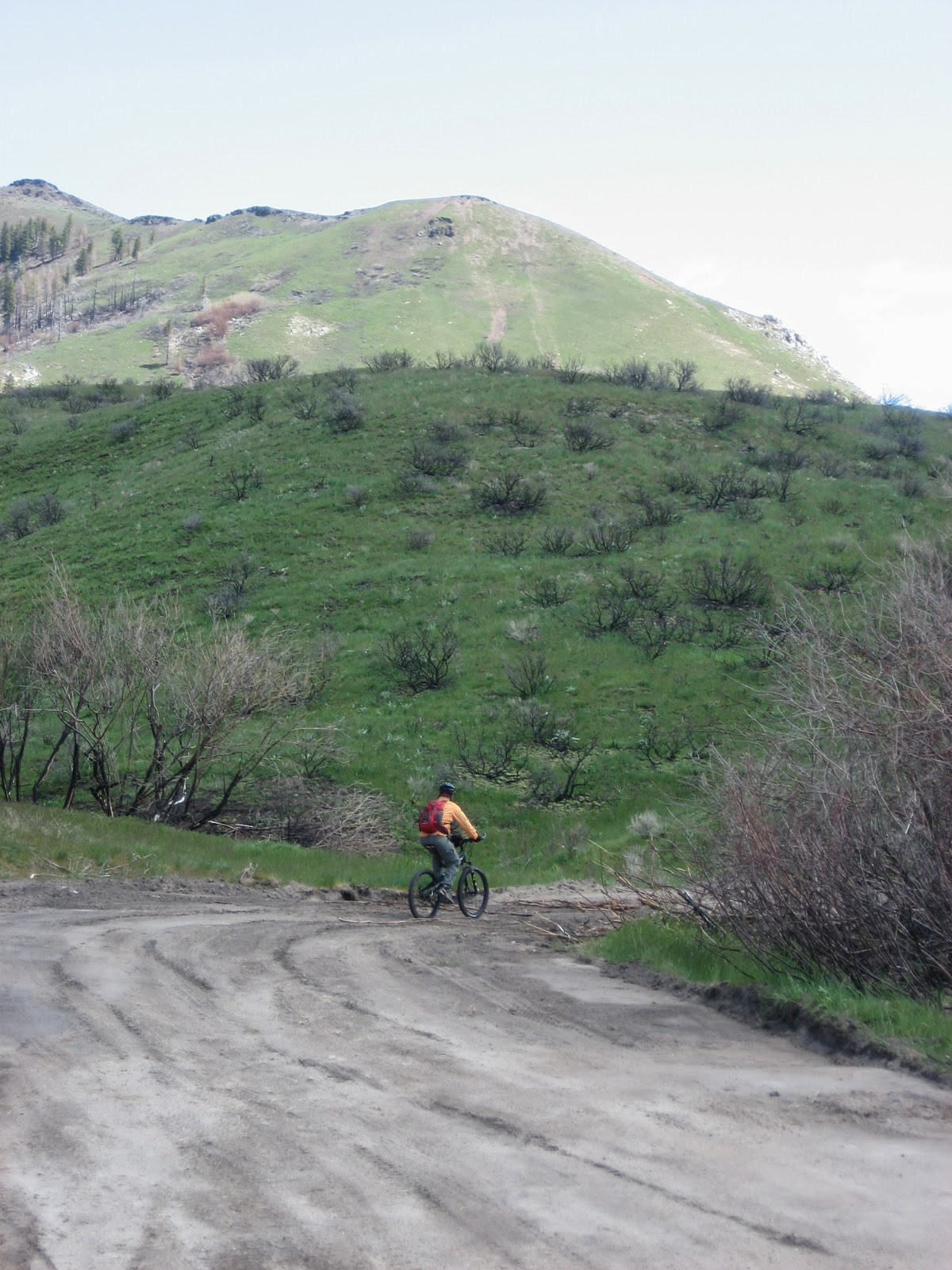
At the top of the next climb, we took a break and decided we'd do lunch at the next "town" which the map shows as Pondosa although the written instructions show as Medical Springs.  It's hot,  and so is my water, so when I see the last of the group ride by the turn of the century Pondosa Store, with its large shade trees overhanging the store and its outdoor pic-nic tables, I was torn between staying with the group and taking the promised break.  The break won out, and I enjoyed the store's cool air, my cold Squirt and ice cream as well as a tour of the store which was a bachelor's boarding house until the mid 1950's when Podosa's sawmill closed. All the houses in town (I think they said 85 houses)  had been moved  elsewhere after the mill closed.  As I wrestled with myself about the stop and what my fellow travelers would do, I imagined them eating their PB&J sandwiches on a hot dry hilltop.  One mile farther on is a large private swimming pool in Medical Springs (which currently offers no services) where a family reunion was being held.  I imagined my group talking their way into the party, snacking, and drinking cold punch,  but I could find no sign of touring bikes about, so I continued on, but on the hot dry hill I imagined them parked in the back with my cohorts hidden in the shade somewhere enjoying that ice cold punch.  However, I soon found my cohorts They were waiting for me in a small corral on a hot, dry, shadeless hilltop.  I wanted to feel bad, but I was still thrown that my group skipped such a pleasant and interesting stop.

Pondosa Store as it appeared for Cycle Oregon Aug 2015 - photo by Jonathan Maus


inside the Pondosa store- a possible overnight stop for future riders of the Grande Tour. The store has only recently reopened, and management would like to eventually rent out the upstairs rooms, but they aren't ready at this time, and I didn't swing an invite to check them out.  The lobby (like an old hotel)  is very nice in a rustic sense.  Meals are not currently available
The group waited for me on this hot, shadeless knoll.  Is it my imagination, or does Christy look like a wildwoman? Perhaps she's thinking of clubbing me as I enjoy an ice cold Sprite and ice cream while she waits for me here in the sun?
Meanwhile... Paul finds shade in the corral, and makes the most of it.  I thought only a cat could conform its body to a spec of shade - photo by Christy


Most of the climbing on The Grande Tour happens this day between Podosa and a 4,178 summit which Carol had convinced herself was 4,678.  However, she was not disappointed to reach the summit at 4,178 ft.
Carol reaches the 4,178 ft summit
We had a quick lunch near the summit, and coasted down to Catherine Creek State Park where we set up camp.  Having a good night's sleep and no intestinal issues the night before, this day seemed a little short, but the state park offered a bit of hiking, good shade, and a poor swimming hole - maybe 18" deep after Paul dug it out- where all soaked and cooled off a bit.

Paul, Christy, Carol, & Amy cooling off in Catherine Creek
Dinner was excellent - some oriental noodles with chicken in a peanut sauce with a few of Amy, and Paul's cashews sprinkled on top.   It was another early night as we seemed accustomed to the touring schedule of going to bed and getting up with the sun.  No mosquito problem at Catherine Creek State Park.

Day 3  60 miles   3:49 riding time   elevation gain 653 ft

Another good night's sleep and early rising.  We'd decided to have a snack for breakfast and ride the 20 miles downhill to Union for a breakfast out.  A convenience store clerk suggested the Union Hotel with what he called 4 star prices was our only option in this sleepy town (I was expecting a working man's town with 0600 breakfasts) but  the wait for an 0800 opening wasn't long.  Food was excellent and the price not too bad.  We sped through Cove, a small town in a beautiful location, but without a central business district.  It looked like we missed nothing - which is sad to say of a clean little town in such a beautiful spot.  The only activity in town seemed to be the 7th Day Adventists gathering on Sunday morning! - maybe they lend their building to another denomination on Sundays? The rest of the day was rolling through beautiful farm country.

not far out of Cove, Oregon
Sean, Carol, & Christy pass a couple of local cyclists outside of La Grande
Grande Tour is generally well signed, but don't count on a sign at every turn

Paul and Carol appear to be wishing we finished at Riverside Park where the route officially starts, but we had started 10 miles into the ride at Eagle Hot Lake RV Park, and have another 10 miles to go!
The route never crosses the freeway in the La Grande area remaining on the northeast side where not much of La Grande lies, and we didn't want to ride the frontage road, so we didn't find an ice cream place to celebrate finishing.  Riverside Park is a nice city park on that side of the freeway though which likely works well to leave a car in when riding The Grande Tour.  Showers back at the Eagle Hot Lake RV Park were $5. 

We had a great time and are considering trying The Old West Scenic Bikeway in September when we hope Marilyn, Bert, & Linda will join us! If considering Grande Tour, do it in the published direction.  The tailwinds we enjoyed on day 1 would have been a killer in reverse.  We had irksome headwinds on day 2, but they weren't killer headwinds.

If you're interested, here are the rest of the photos

Happy cycling for fun, fitness, & transportation


Steve

19 May 2015

A TRC Weekend with Flat Iron Road


When Carol and Sean invited me up to Lewiston for the Flat Iron Ride, I decided to make it a full TRC weekend beginning with the Thursday night Time Trial where I hoped to see my old Time Trial buddies: Marilyn, Mike, Mark, Chris, Bob, Lance, and others but has time has taken a toll on my old buddies?  When 6:00 pm rolled around only Bob Uptagraff, Tamara, and two women  I hadn't met before were there.  

Thursday Time Trial           Distance 10.0 miles                      Riding time 34:14

Since I had spent most of the day in the car and hadn't done a time trial since moving to Boise in 2005, I declared my time at 36 minutes which should have made me the first to depart.  The women, all training for a tri-athlon,  decided to make a slower paced 10 mile warm up before the real time trial, so they departed first followed by me and then Bob.  The wind was out of the west just as I remembered.  As I peddled into the wind remembering that I needed an average speed of 20 MPH to have a mediocre time of 30:00 (always my goal, never my time), the highest speed I saw on my speedometer was 17.  My rear view mirror showed Bob was slowly gaining on me which kept me motivated despite my discomfort.  I turned around at the 2nd 200m mark just Bob had told me - which may have been a bit early- and enjoyed finally seeing the speedometer read 20 MPH as my direction finally matched the wind's direction.  Bob was no longer gaining on me, but with the tail wind I was generally doing 20 MPH telling myself I didn't want Bob sneaking up on me!  Although I did a lot of Time Trials from 97-04, I never really figured out why a non-racer like me would do them - other than the good company they provided!  It dawned on me that night.  With just 13 miles for the day which I'd spent most of sitting in the car, I felt really good.  My lungs had been expanded and my heart had raced releasing a bit of endorphins with so little time devoted to riding.  Riding a time trial is more like running! You accomplish a lot in a little time.  Thanks, Bob, for the competition! 

Bob Uptagraff finishes the Time Trial in what may be my first successful "panned shot" - where I move the camera to match his movement leaving the subject focused but the background blurry

Saturday's single track ride on the Craig Mountains was cancelled due to rain, but Sean, Carol, and I sneaked in a 10 mile ride to Carcass Corner which overlooks Lapwai.

Sunday's Flat Iron Road Mountain Bike Ride    Distance 47.0 Riding Time 5:02   Elevation Gain 5,019
Most of us left from the Ellis' house near the top of Cougar Ridge Road, but the rest of the group joined us at Mann's Lake, a more convenient meeting spot for most Orchard's residents.  We rode down Webb Canal Rd and then along Sweetwater Creek and up Webb Ridge Rd to  Flat Iron Road which are mostly gravel roads.  Nicki drove sag and took the group photos.
The 12 riders: Lee, Christy, Stephanie, Tracie, Mike, Sean, Bill, Steve, Jennifer, Guy, Roger, and Doug with the Lewiston Valley in the background


We continued up until we saw this canyon which had be be crossed- meaning most of our elevation gain would be lost and then regained!.
4 of the cyclists enjoying the rapid descent before climbing the facing hill

Tracie arrives at a small flat spot before resuming the climb.

We regroup and enjoy a break at the highest point on the ride

quick snacks and drinks as we regroup and our sag driver heads home
After reaching the high spot of the ride, we dropped into a draw and climbed up to the paved Waha Road for a quick descent by the Waha Store and on to Stephanie's house where we had great snacks- home-make cobbler, pie, and lemon bars- thanks Stephanie!  Bill wanted to be able to say he'd climbed more than the rest of us, so he continued on beyond Stephanie's to the end of the pavement, and then climbed back up to rejoin the group a little later, but his plan still left hims short of 50 miles for the day!  Carol joined the riders here, and we then continued down Waha Rd as Sean, who's quite capable of it, sped home from here to start the grill.

Instead of climbing McIntosh Grade we returned to the gravel of McCann Road and Reservation Line Rd back to the Ellis' for BBQ steaks (provided by the Ellis' and Stephanie) and many other goodies.

Thanks Sean, Carol, & TRC for a great weekend!

Happy Cycling for fun, fitness, and transportation!


Steve

11 May 2015

Bicycling the Boise Front

Since we met our training goal last week by cycling up  Shaw Mountain,  we declared ourselves ready for the ride across the Boise Front, a tough ride I hadn't done since 2012.  Neither one of us wanted to make the ride more difficult, but we both prefer trails to roads, so we diverted to the trails for the bottom section- avoiding Shaw Mountain Road until Rocky Canyon.
.
Chris at the beginning near the Cottonwood Creek Trailhead

We were saving our energy for later, so we headed up Toll Rd Trail instead of climbing  Eagle Ridge and falling back to the creek as we usually would.  Then it was up Central Ridge and Shane's trail which dumped us about 1/3 the way up Rocky Canyon Rd.  It's a bit of a drudge climbing the steep dirt road (not gravel; it's mostly decomposed granite and sand) to Aldape Summit, where the jeep trail turns off the decomposed granite road. Here we met 2 hikers who'd climbed up from the Idaho City side and volunteered to take a couple of photos.

the turn off at Aldape Summit- where it gets steep!
Chris and Steve begin the steep section
and back down to retrieve the camera


Chris reaches the first only moderately steep spot after Aldape Summit
Chis as the vista begins to broaden
After this year's dry spring we found the wash outs in the road only inches deep which made for easier riding than in 2012 when Will and I found the wash outs feet deep making the route a little easier this year than 2012 when 2 ft wash outs were common.

Steve nears the top of this long steep section with the twisty road they've climbed in the background


I thought this might be my new Facebook cover photo, but their profile photo superimposes itself over my head.  Another photo taken at this spot will suffice.
Just as we reached the section with the best vista, who should arrive but a lost hiker who volunteered to photograph us.  Unfortunately, she didn't understand the concept of "get the winding road in the background". Anyway, when am I so lucky as to meet friendly strangers twice in the same day at just the spot we'd like a group photo?
Chis and Steve mostly blocking the view of the road they've just climbed.  We intended a view of the road we'd climbed more like the photo just above this one
Our new acquaintance, the hiker, was distressed to hear she was roughly 4 miles from her car, but glad to learn where she was and how to get back down to her car.  We offered to share a snack and even a little of our precious water, but she said she was fine.  So, we parted company as she descended and we continued ascending.

Chris reaches the crest, and we temporarily cross to the North side of the ridge
It sounds like the climbing would be over as we reach the crest, but the road crosses the ridge several times and begins rising and falling.  We always enjoy riding through the deep forest, but its lighting is difficult for my photographic capabilities, which I failed even to try here.  We climbed a couple times up to the ridge and then would descend into a basin where Hard Guy trail ends and where we had lunch and where we met two groups of mountain bikers as they finished climbing it.  Both groups added to our pleasant lunch stop and were impressed with our ride, but some of those riders were really impressive.  Although we enjoy descending Hard Guy neither one of us as ever ridden up it.  The 2nd group was comprised of about 6 riders.  The first one up the hill (by at least 5 minutes) was on a fixie (a one speed bike, and his was without a shock).  I looked at the drive train and would swear from the dry dirt caked on it (in almost sedimentary layers) that it had never been lubed or wiped off.  I don't believe I ever saw such a neglected chain among my boyhood friends in Winchester where none of the fathers (mill workers or farmers) would have allowed their sons to so abuse a machine!  That one gear he had appeared to be a fairly high gear too (making climbing more difficult).  That rider assured us he was that far ahead only because the single gear wouldn't allow a slower speed!  Will and I (on our 27 speed bikes) were once passed by a fixie as we struggled up an extremely steep section of trail.  I suppose meeting such fellows from time to time helps keep us humble. Since we knew we were pushing our training level on this ride, we took a fairly lengthy lunch break.  My legs left that break feeling a little weaker for the afternoon section of the climb, and climbing out of that basin is roughly 1,000 feet of climbing.

Chris with a view of the top of Deer Point and Bogus Basin in the background

By the time we reached the top of Deer Point, I was tired of pushing myself hard in Granny-1 but left  the decision of riding to the top of Bogus up to Chris.  We'd ridden the Boise Front with the extra climb to Deer Point, and that was enough, so we skipped the side trip up to Bogus, the highest point on the front.  Although Chris said he was tired and didn't even look forward to the descent down Bogus Basin Road, his assessment was bad.  At the bottom he confessed he had forgotten how much fun that paved descent is.  As we parted, I saw no signs of fatigue in him, unlike on last week's ascent of Shaw Mountain, so last week's final training ride up Shaw Mountain was successful. Well done, Chris.  We can now tackle any ride!

53.0 miles      6:37 riding time

Happy cycling for fun, fitness, and transportation!

Steve


04 May 2015

Homestead Trail to the Top of Shaw Mountain - Preparing for the Boise Front

41.5 miles riding time 4:51

Chris, a co-worker of Will's, has been riding with us for the last year and is steadily increasing his distances.  Chris is a natural athlete, a gymnast from his schooldays and a BMX rider in his youth, so when I'm too slow or the trail's not challenging enough, he'll be finding the most difficult route through any obstacle. To prepare for next week's ride across the Boise Front on 10 May, we decided to make the tough ride up the Homestead Trail and then climb the road to the top of Shaw Mountain.  I'd assured Chris that Homestead was steep, and that the road was just as steep, which turns out not to be a good description.  Wash outs make the old road far more challenging than the trail where we weren't tempted to push!

Chris on the section just above the old "homestead" which gives the trail its name


Steve and Chris where the trail meets "the road"- with the east end of the Boise Valley in the background
Will and I haven't ridden this route in several years, so when we got to the junction of the trail with the old road, we were surprised to see it badly washed out with no obvious care in the last few years.  The hikers who took the above photo told us the county (or BLM- or anyone) no longer maintains the road which used to form a big circle up one side of the mountain and down the other. 
Chris climbing a section of the "road"

Between the accumulated loose sand and rocks and the wash outs, we had to push up a couple of the steepest sections. Since the route is consistently steep, Chris' bike not shifting into or  out of Granny (without a manual assist while stopped) wasn't too much of an issue as there was no need to leave Granny and rarely a need to leave Granny-1.  Hitting Granny 3 seemed like a vacation!  None-the-less Chris began to show signs of fatigue as we neared the top.  With one turn we went from steep uphill in the desert to downhill in fir forests!  Chris seemed entirely reenergized dropping me to enjoy the downhill before we resumed climbing. 


Chris, with some encouragement, has remounted his stead and is climbing this section near the top - which is steeper than it looks.  At this elevation the brush has not yet  leafed out.
Chris near the top with the hazy Boise Valley in the background
We climbed to the very top and enjoyed the view through the windy haze (an odd combination) of the Boise Valley.  We descended a bit on the north slope to enjoy a real break in the timber.  Chris seemed revitalized by the break and some fresh pineapple which he shared with me, and we took off down the hill.  On this side of the mountain the road is still somewhat maintained, and while it offered a few small wash outs and sand traps, it's not comparable to the abandoned road we'd climbed.

I rounded a corner and was surprised to see Chris' bike upside down in the  road.  A pinch flat on the rim side (no spoke issues; I wish my rim liner look so good) was the cause.  Although the tube was slimmed, the holes were large flatting the tube within moments of inflating it.  Chris decided to replace the tube.  Soon the new tube was installed, and we were off
 

Chris fixing his flat

I rounded another corner and there was Chris off his bike.  The cause, this angry 3' serpent which Chis had incensed by riding too close!

Just as I got the camera out, the rattler gave up his strike position and started a slow retreat with his fangs still pointed toward us just in case we made the wrong move
Around the next corner, the same thing.  This 2nd snake was the same size and color and in the same strike pose which was soon abandoned for the retreat, so I didn't bother photographing it. Chris said there was a 3rd rattler he didn't stop for, and I didn't notice it. That's bad news for me, because where these rattlers were is a few hundred yards from where my most frequent solo ride meets this route- where in many year's of riding I've only seen only one rattler but many bull snakes.

This route dumps us on hwy 21 for a fun descent on pavement to the base of Lucky Peak Dam.  When I passed a rather uncharacteristic slow moving Chris, I asked what the problem was.  It seems his bike didn't want to shift into the "high" chain ring either.  It wouldn't respond to our manual efforts to put it in the large ring either.  So, this demanding ride was done on a bike with easy access only to the mid chain-ring!   I had a speedy fun descent followed by my uncharacteristically slow friend!

Any tiredness I had felt at the top was relieved  by the break at the top and the fun of the descents.  The descent didn't seem to have that effect on Chris.  He was moving pretty slowly when another flat stuck him on the Green Belt about 3 miles from his home.  From a quick observation before taking the tire off, it appeared to be from a puncture weed.   A cell phone call to his girl friend was too tempting, so he called for a recuse!
Chris' rescue arrives!
Chris and his bike are transported home

This is a challenging climb that's more challenging than it was when Will and I last climbed it back when the road was still somewhat maintained. We'd recommend anyone riding this route should ride it clockwise as we did; I can't imagine riding down the steep loose sand and rock sections of this abandoned road.  I think Chris and I are both ready for the Boise Front next weekend with its greater distance and elevation gain- but it's not so consistently steep and its climbing is not all on the southern slope. Chris, bring lots or water and food!  We'd be glad to have additional riders!

My apologies for the overexposed photos.  I've switched from a Canon A540 to Canon A590 which captures greater detail, but seems to over expose a lot of sunny shots when set on "auto"; something my A540 never did.

Thanks, Chris, for the adventure, and Happy cycling for fun, fitness, and transportation!


Steve

15 May 2014

Bicycling to Danskin Peak

 22.1 miles         3:29 Riding Time 

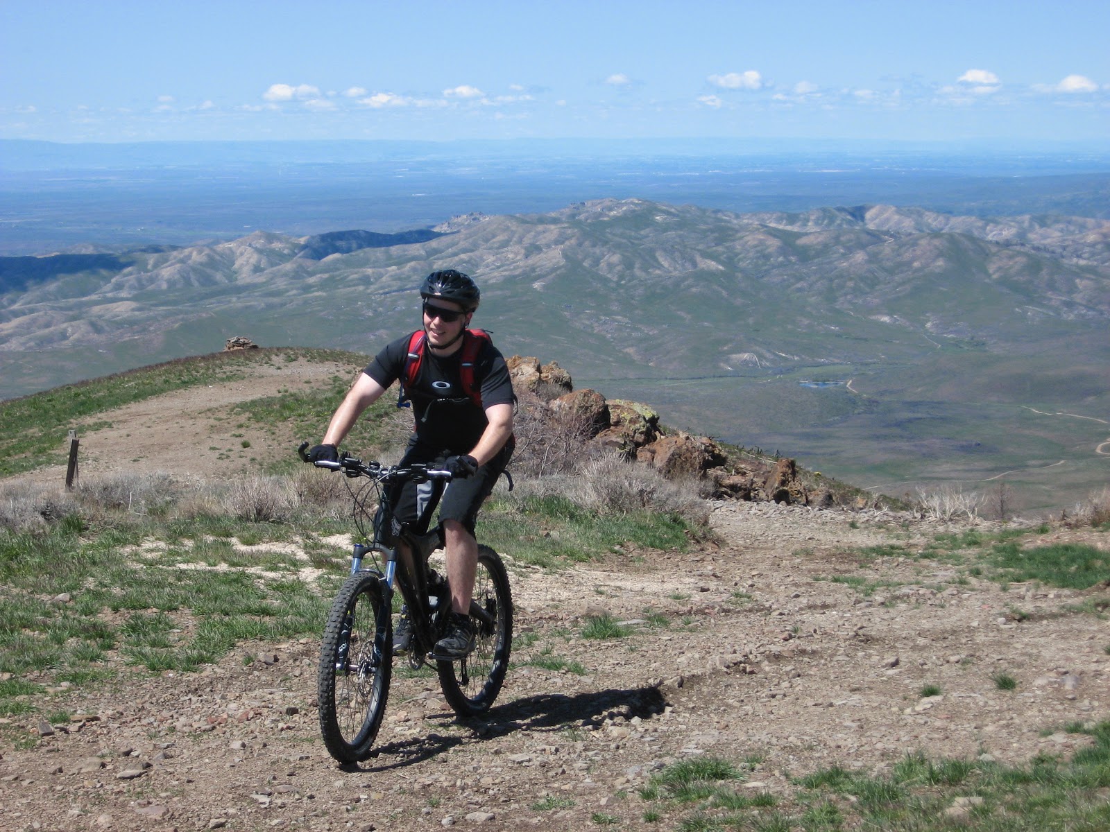
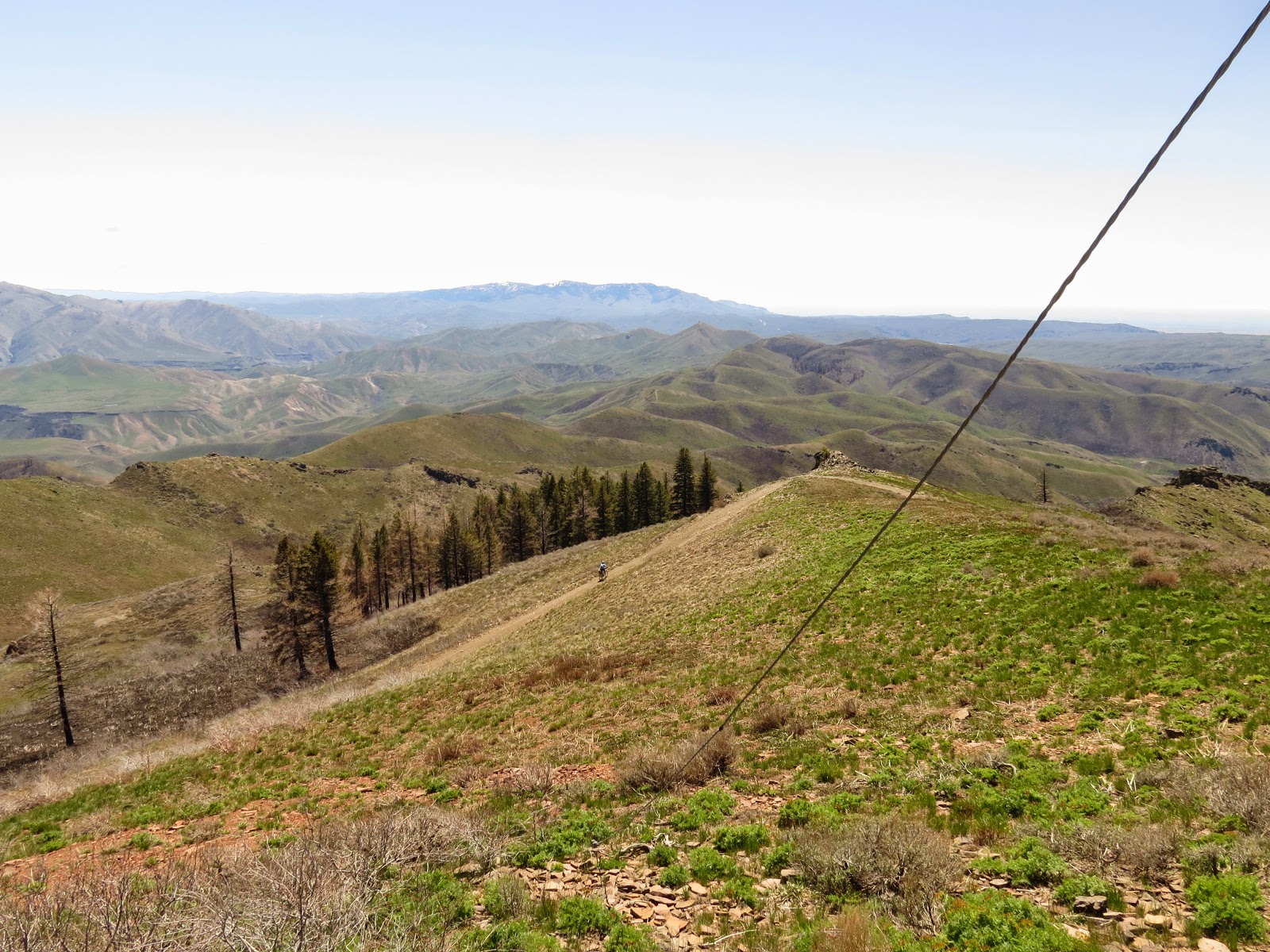
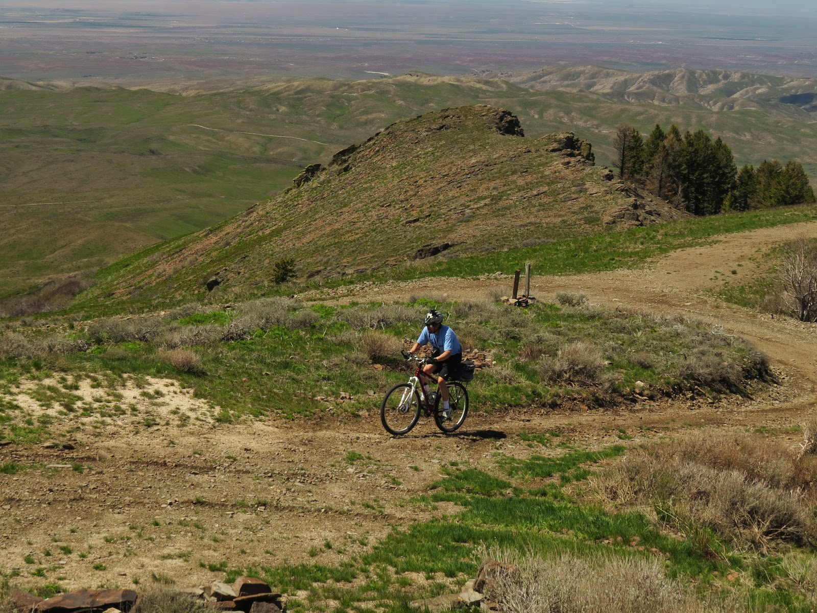
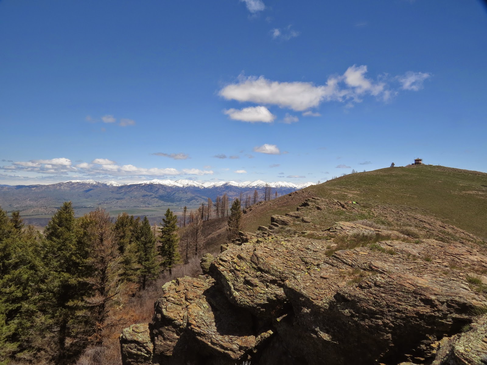
Will's always up for something different, and as spring turns to summer he suggested we climb the 3,446 ft to the top of 6,892 ft Danskin Peak. Danskin lies between Boise and Mountain Home (north of the freeway), and the LT often flies over it with the National Guard..  Experience has taught me to be cautious of his aerial reconnaissance, so I brought my lights in addition to lunch despite his prediction that this would be a 3 hour trip (including commute time!).  The forecast was calling for a windy day with gusts as high as 40 MPH in Boise, so I was hoping for a ride up a draw through the timber somewhat like the infamous Cottonwood Creek ride but without the brush.  This would not be the case.  Danskin is mostly high desert offering no protection from the wind except for a band of timber just before the top. We were in luck in that this primitive road was recently graded.

The LT was concerned that the 16 the mile ride he had planned wouldn't be enough riding, so he suggested we park the car about 3 miles early on the back roads.  I'd dressed warmly for the drive, but the cold wind  blowing off the nearby snowcapped mountains made me leave on my regular winter riding gear as we worked to go downhill thru the wind for 3 miles to the parking lot where the LT had originally planned to start the ride. There we turned 90 degrees and were no longer in a draw that channeled the wind into us- making the wind much less significant.  The unusually wet spring has made the high desert beautiful. 

The LT on the way up


The LT higher up the mountain


The LT in the burnt out section of timber just before the top overlooking Boise River

Steve on a reverse shot on the way up - on the descent  he was well bundled in several layers

Near the top of the mountain is a sign "Jeep Trail 3/4 mile". My odometer showed the top was 1.1 miles, and that section was very steep requiring my 17.5" (granny 1) gear all the way.. The LT hasn't been on his bike a lot this year, and seemed worn out when he reached the top. We met a hiker, Paul Turner who talked to us for a few minutes before heading off as we started our nearly one hour lunch break.

The LT reaches the top


Steve, the spot on the road,  nears the top- photo by Paul Turner


Steve reaches the top- photo by Paul Turner


Steve & Will enjoy lunch (see the bright yellow spot)- photo by Paul Turner


The LT toward the bottom


After that 90 degree turn at the parking lot, the climb had seemed warm even as we reached the top, but the long lunch break and first part of the descent required our winter clothes. Just after we reached the parking lot where we had planned to park, Paul arrived having hiked down a much more direct trail. The LT's energy was gone, but the car was still 3 miles uphill from there. I was glad Paul didn't offer him a ride over those 3 remaining miles!  Would he have succumbed to temptation?  The wind had died down considerably since the start when we had to work to go down that hill, but it still provided some assistance on those last 3 miles up which the LT would describe as steep and tiring!  I wouldn't disagree with the steep part of that description!

Good ride, LT.  I look forward to more summer adventures, and I'll have my lights changed and ready for the next adventure!


Happy cycling for fun, fitness, and transportation,


Steve.